

Manzanita Lake, Lassen National Park CA
• 4-star hike
• 2 mile loop
• Easy | Gain 50 ft | Peak 6,000 ft
• Mineral, CA | Lassen Region
.

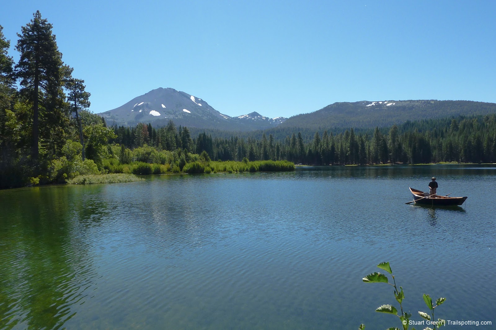
On a clear day, the short and easy 2-mile loop hike around sparkling Manzanita Lake is the perfect introduction to Lassen Volcanic National Park, showcasing as it does some of the best features of the park, including the glacier-strewn Lassen Peak and the young Chaos Crags massif.
It was, in fact, an enormous rockfall collapse of Chaos Crags that cut off a local creek and created this lake, a striking reminder of just how dynamic and geologically young this landscape really is. Be sure to check out our Chaos Crags article linked below for a tour of the rockfall known as Chaos Jumbles.
| ⬤ 4★ Manzanita Lake Loop
1.9 mi loop, easy, gain 50 ft GPX File · AllTrails · Directions GPX? |
| $ NPS entrance fee |
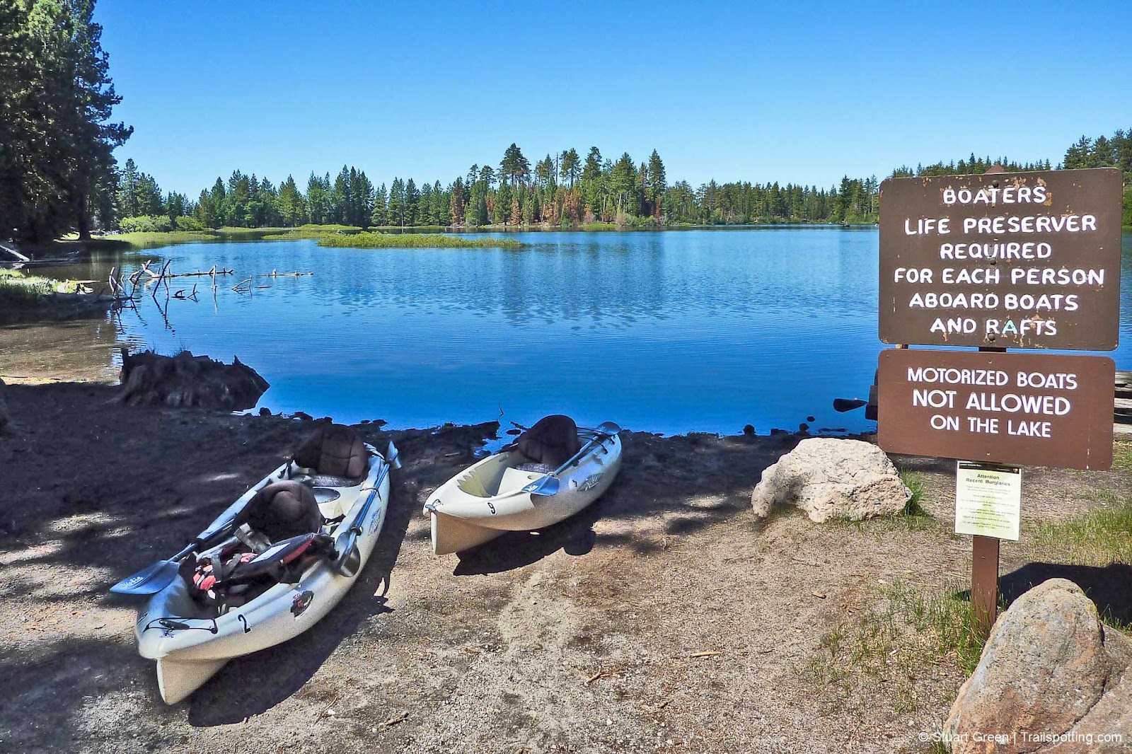
This spot is favored not only by hikers and photographers but also by fishing enthusiasts in search of rainbow, brown, and brook trout, all of which can be found in the lake's cool, clear waters. Thankfully, the lake is limited to non-motorized boats, keeping the lakeside relatively quiet and peaceful compared to some of the park's busier destinations. Kayaks and canoes can be rented near the boat launch area, so check the nearby campground store for details on availability and pricing.
Situated by the northern entrance of the park, the lake is conveniently located near the historic visitor center and the large Manzanita Creek Campground, making it an easy stop for visitors arriving from that direction. Noise from the park road does infiltrate the peace of the lake somewhat, particularly during busier summer weekends, but that's a price you pay for the convenience of such an accessible location. If you prefer a quieter lake experience further from the road, check out our Cluster Lakes article for a more secluded alternative.
Snow covers the Lassen landscape for much of the year, and some roads and trails may not be open, even in summer, depending on snowpack and seasonal conditions. Check the links below to find updated information on road closures, trail closures, and campground status before planning your visit.
External links:
Lassen Volcanic National Park website
Trailspotting nearby:
5★ Lassen Peak (4 mi)
3★ Chaos Crags (3 mi)
5★ McArthur Burney Falls (1 mi)
Show Area Map
Trailspotting free offline maps:
MAP PACK Lassen Region

California Lakes
Reflecting on lake-side and lake-view hikes.
Reflecting on lake-side and lake-view hikes.

Best Trails of California
See our favorite hiking trails for each region of California.
See our favorite hiking trails for each region of California.


