Posts
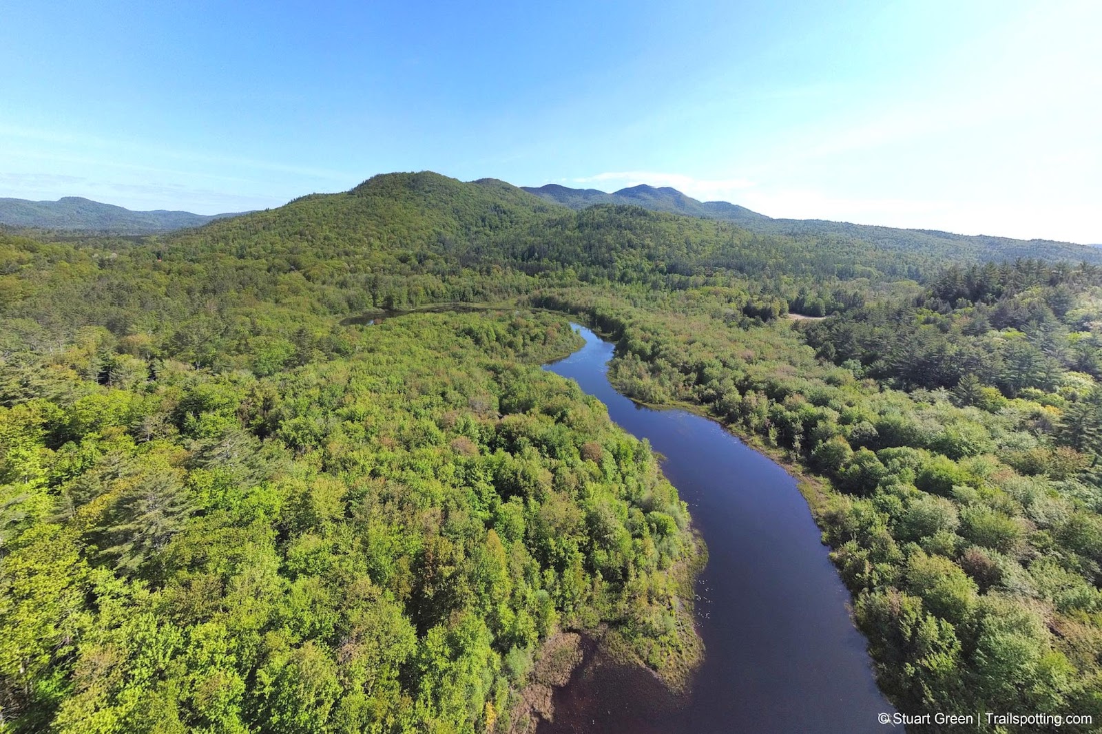
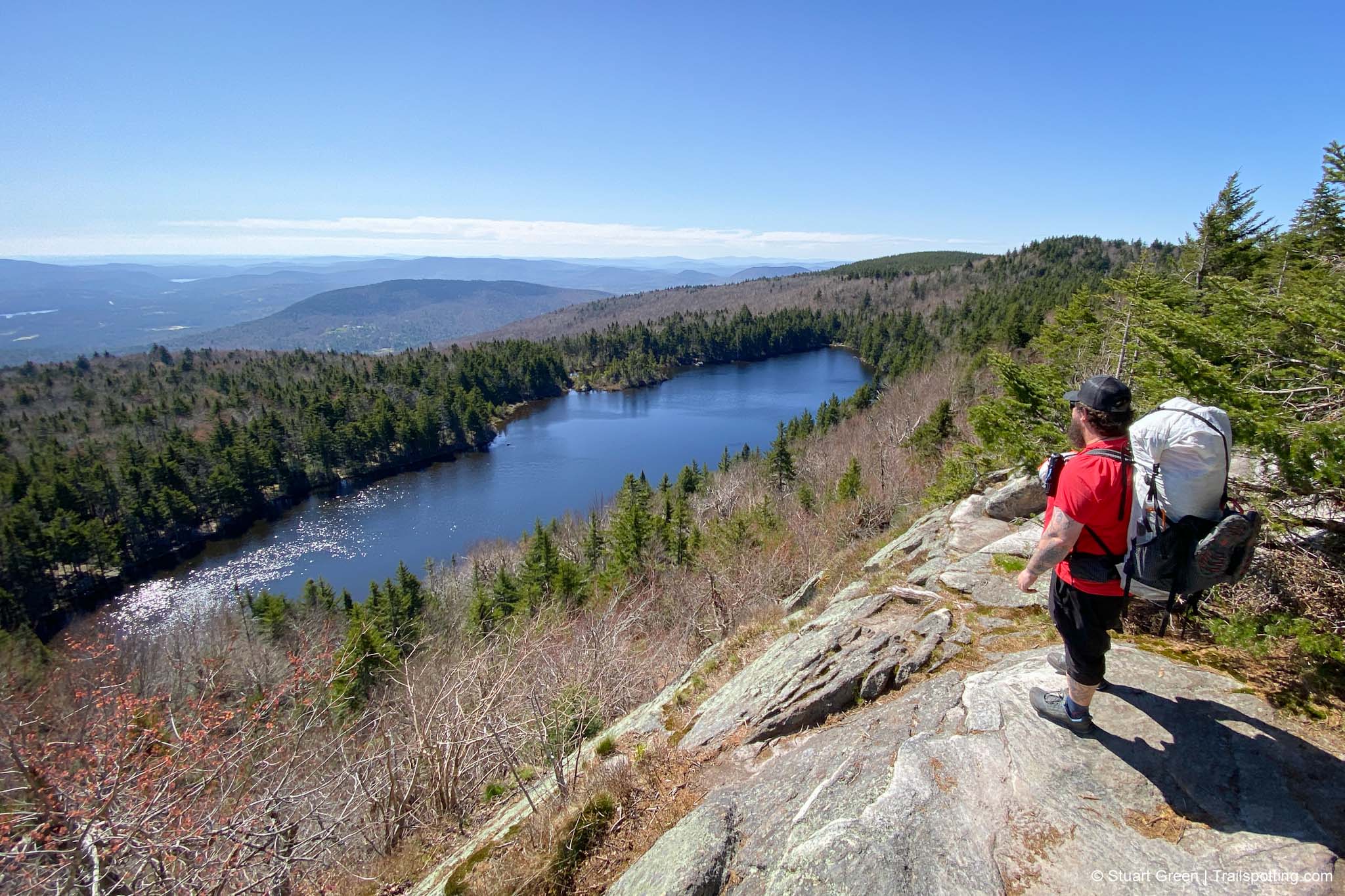
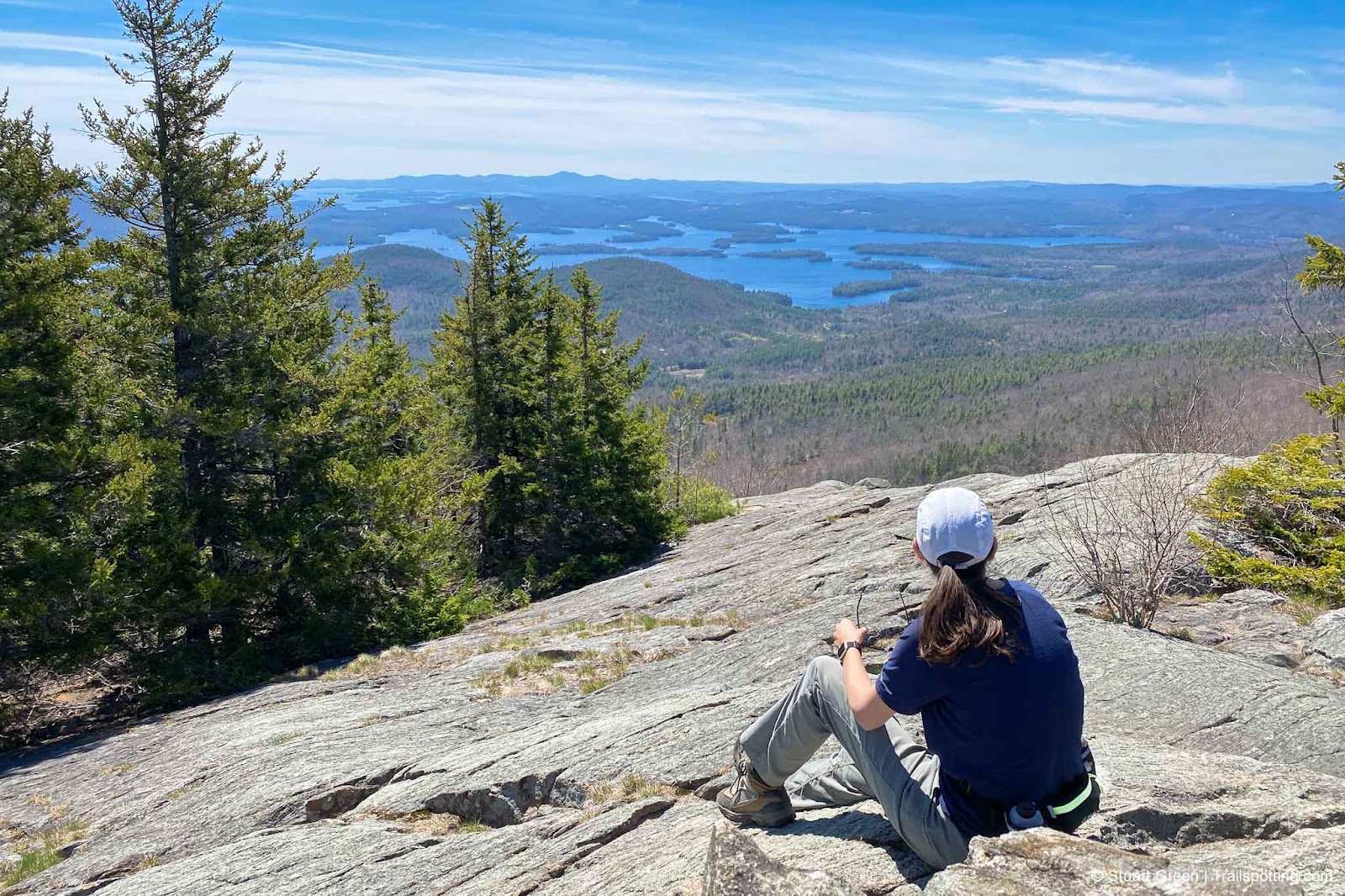
Ragged Mountain, Andover NH
• 4-star hike
• 4.3 to 7.7 mile options
• Medium difficulty | Gain 1,120 to 2,040 feet
• Andover - Danbury, NH | Sunapee Region
…
• 4.3 to 7.7 mile options
• Medium difficulty | Gain 1,120 to 2,040 feet
• Andover - Danbury, NH | Sunapee Region
…
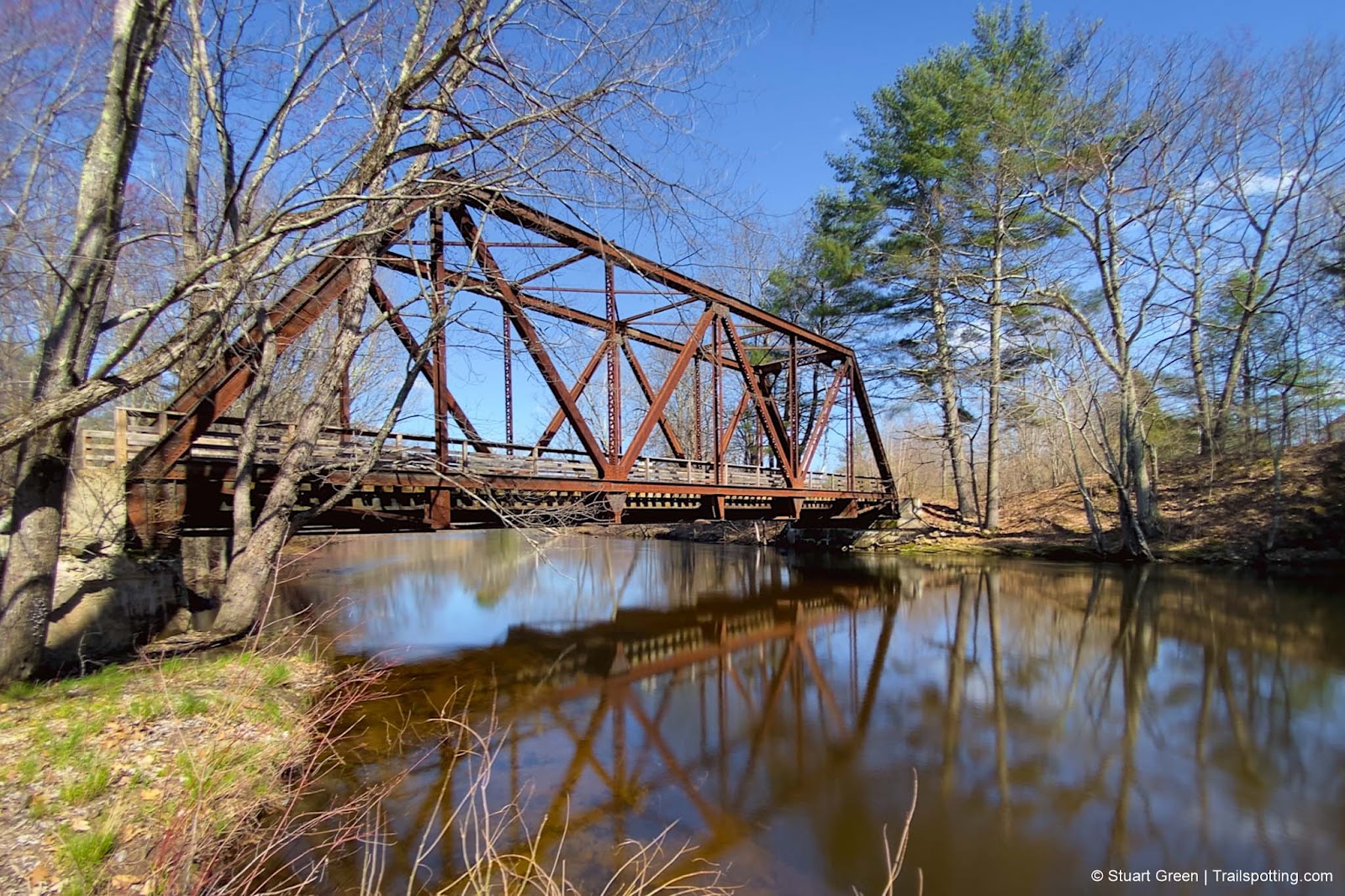
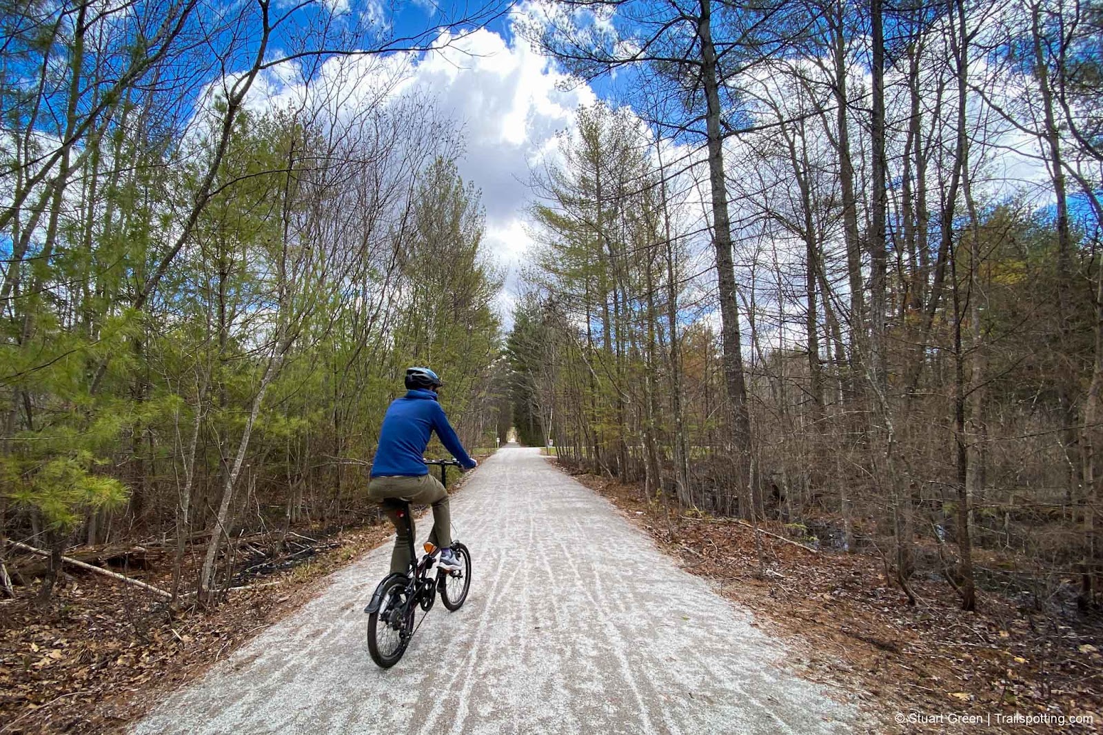
Granite-Brookline-Potanpio Rail Trails, NH
• 4-star trail
• 11.0 miles each way
• Easy/Medium difficulty | Easy - Moderate elevation
• Milford to Brookline NH | Merrimack Region
…
• 11.0 miles each way
• Easy/Medium difficulty | Easy - Moderate elevation
• Milford to Brookline NH | Merrimack Region
…
Mount Sunapee, Newbury NH
• 4-star hikes
• 1.3 to 9.7 mile options
• Medium difficulty | Gain 470 to 2,420 feet
• Newbury, NH | Sunapee Region
…
• 1.3 to 9.7 mile options
• Medium difficulty | Gain 470 to 2,420 feet
• Newbury, NH | Sunapee Region
…
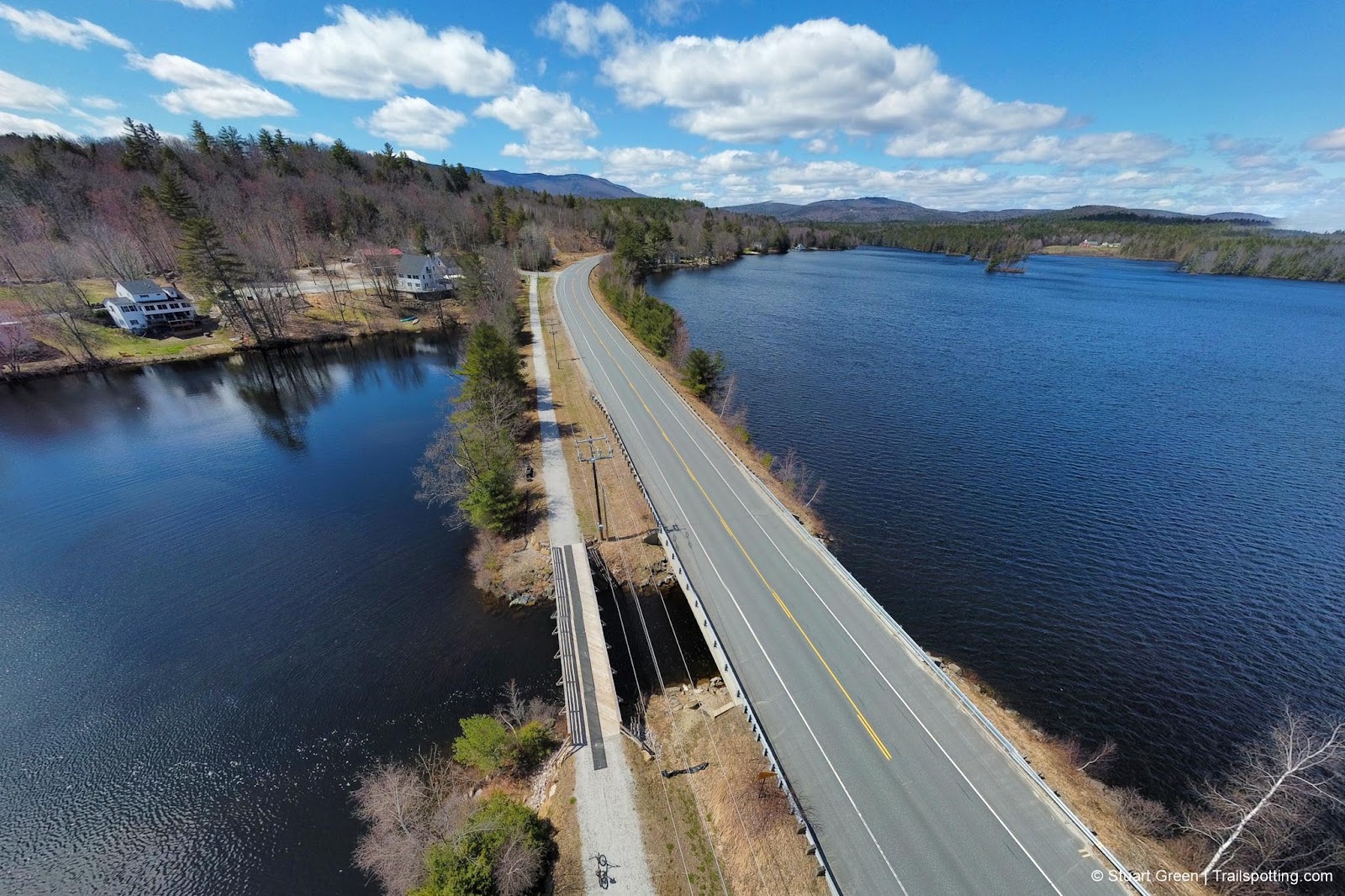
Concord-Lake Sunapee Rail Trail, NH
• 4-star trail
• 8.0 miles each way (in segments)
• Easy & Medium | Easy elevation
• Newbury - Concord, NH | Merrimack,Sunapee Region
…
• 8.0 miles each way (in segments)
• Easy & Medium | Easy elevation
• Newbury - Concord, NH | Merrimack,Sunapee Region
…
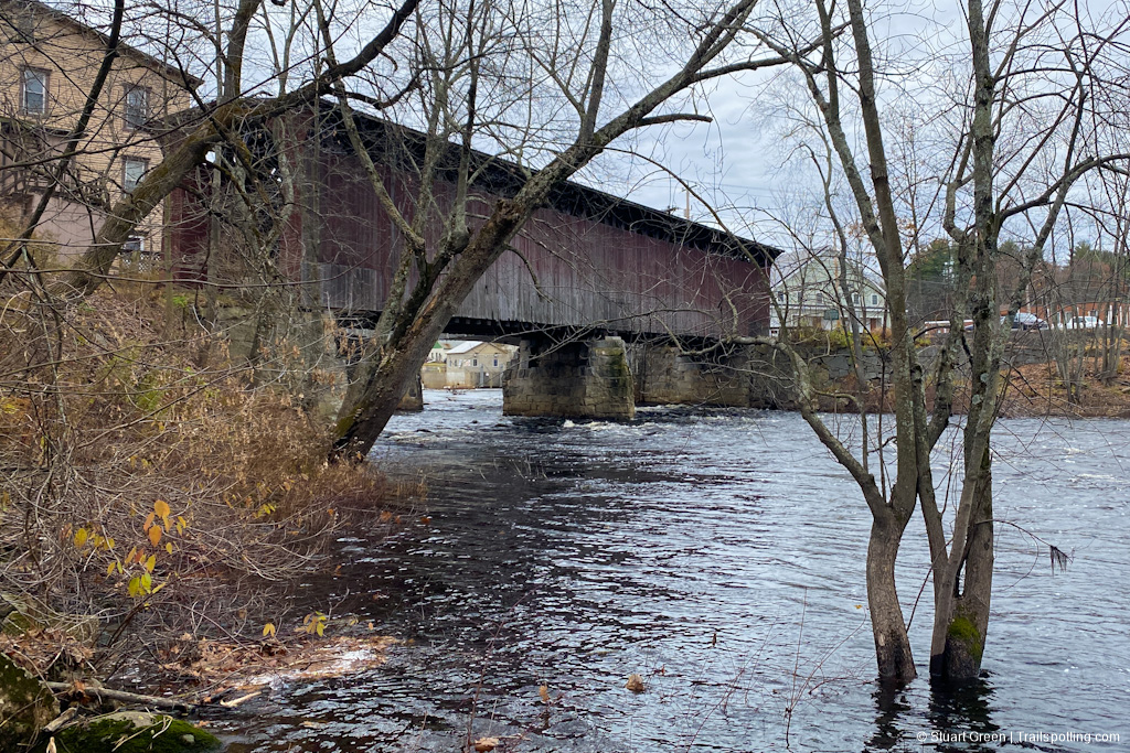
Tilly Wheeler Rail Trail, Bradford NH
• 3-star trail
• 0.6 miles each way
• Easy difficulty | Easy elevation
• Bradford, NH | Sunapee Region
…
• 0.6 miles each way
• Easy difficulty | Easy elevation
• Bradford, NH | Sunapee Region
…
Warner Rail Trails, NH
• 3-star trails
• 1.0 miles each way
• Easy difficulty | Easy elevation
• Warner, NH | Sunapee Region
…
• 1.0 miles each way
• Easy difficulty | Easy elevation
• Warner, NH | Sunapee Region
…
Stevens Rail Trail, Hopkinton NH
• 3-star trail
• 2.2 miles each way
• Easy difficulty | Easy elevation
• Hopkinton, NH | Merrimack Region
…
• 2.2 miles each way
• Easy difficulty | Easy elevation
• Hopkinton, NH | Merrimack Region
…
Mt Morgan & Mt Percival, Squam Lakes NH
• 4-star hike
• 4.0 to 5.2 mile options
• Medium difficulty | Gain 1,400 to 1,550 feet
• Holderness NH | Lakes Region
…
• 4.0 to 5.2 mile options
• Medium difficulty | Gain 1,400 to 1,550 feet
• Holderness NH | Lakes Region
…
Mast Yard Rail Trail, Hopkinton NH
• 3-star trail
• 1.7 miles each way
• Medium difficulty | Easy elevation
• Hopkinton - Concord, NH | Merrimack Region
…
• 1.7 miles each way
• Medium difficulty | Easy elevation
• Hopkinton - Concord, NH | Merrimack Region
…
Fisherville Rd Rail Trail, Concord NH
• 4-star trail
• 2.5 miles each way
• Medium difficulty | Easy elevation
• Concord, NH | Merrimack Region
…
• 2.5 miles each way
• Medium difficulty | Easy elevation
• Concord, NH | Merrimack Region
…
O'Reilly-Fleetham Trail, Concord NH
• 3-star hike
• 0.6 to 1.4 mile options
• Easy difficulty | Gain 50 to 60 feet
• Concord, NH | Merrimack Region
…
• 0.6 to 1.4 mile options
• Easy difficulty | Gain 50 to 60 feet
• Concord, NH | Merrimack Region
…
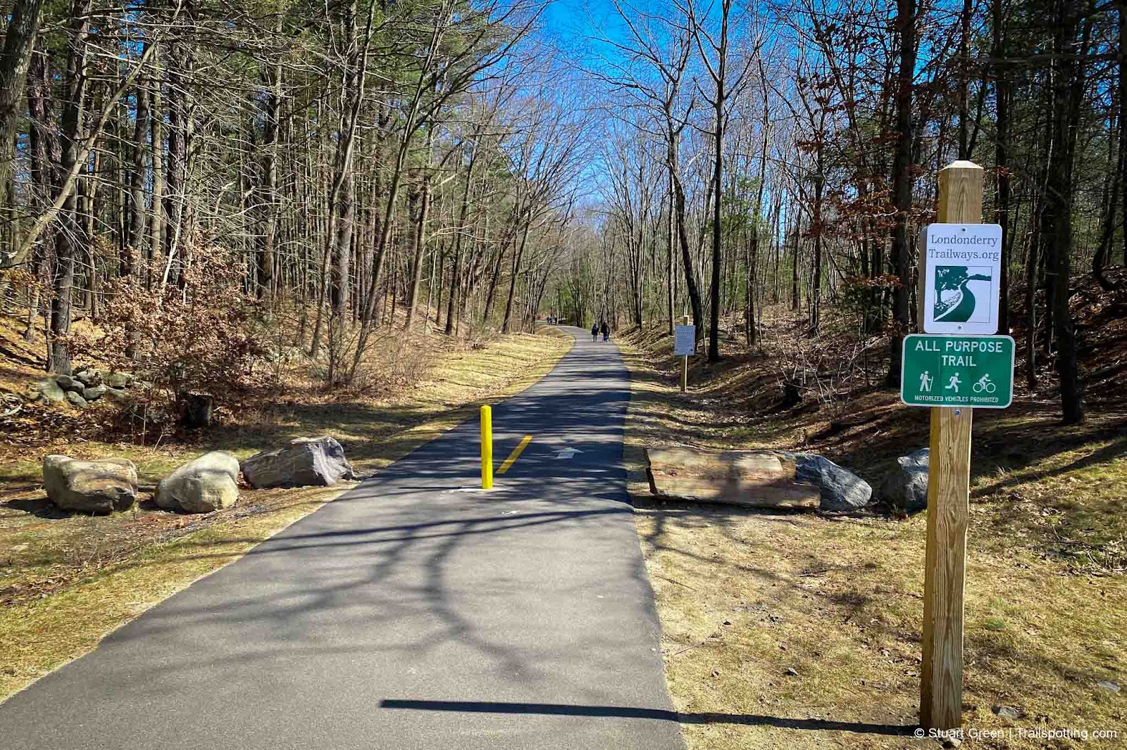
Londonderry Rail Trail, NH
• 4-star trail
• 4.5 miles each way
• Easy difficulty | Easy elevation
• Londonderry, NH | Merrimack Region
…
• 4.5 miles each way
• Easy difficulty | Easy elevation
• Londonderry, NH | Merrimack Region
…
Trailspotting is non-commercial, ad-free and for the public good.
Content provided without warranty of accuracy. Copyright © 2005-2024 Stuart Green all rights reserved. Reproduction requires explicit consent.
About Trailspotting .
Content provided without warranty of accuracy. Copyright © 2005-2024 Stuart Green all rights reserved. Reproduction requires explicit consent.

