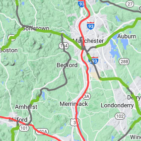
New England Bike Route Mapping Resources

• Category: Blog Update
• Last updated: May 2023
Complete interactive rail trail maps with links to reviews, photos & detailed route maps.
At Trailspotting our focus is on hiking trails and rail trails, including identifying easy ways to link rail trails together. However, if you're planning a bicycle trip that avoids sharing roads with motor vehicles as much as possible, then you may want to check out these additional resources. We'll update this page if we find more.
Massachusetts
• MassDOT Bicycle Facility Inventory
The commonwealth has an excellent map that shows bike lanes and shared use paths, including rail trails. To view only the available routes be sure to filter out the 'planned' and 'projects' section from the layers list first. Also, you can click on any of the planned or project routes to see when they're scheduled for construction of if they're even funded.
New Hampshire
• New Hampshire DOT Bicycle Route Map
Although New Hampshire has a similar map, the sorry condition of the state's bicycle infrastructure comes into focus when you filter out the green routes, which are all roads - and often major ones at that. Go to the layer list and deselect the 'designated bicycle routes'. What you're left with are rail trails (some are missing) and an occasional scattering of orange bicycle lanes. If you want better infrastructure in our great state, then the Bike Walk Alliance of New Hampshire has some ideas.
Vermont
• Vermont State Roads & Trails Bike Map (2016)
As far as we can gather VTrans doesn't have an equivalent map, or any map to show safe and separated bicycle routes in the state. They do have this page however, which includes a link to state-supported rail trails. We were able to find a downloadable map from Vermont Department of Tourism and Marketing on the website linked above that includes a download to a 2016 map of roads and occasional bike paths (in purple).
Tangents:
• Facebook Group: Comment on this article


