Posts
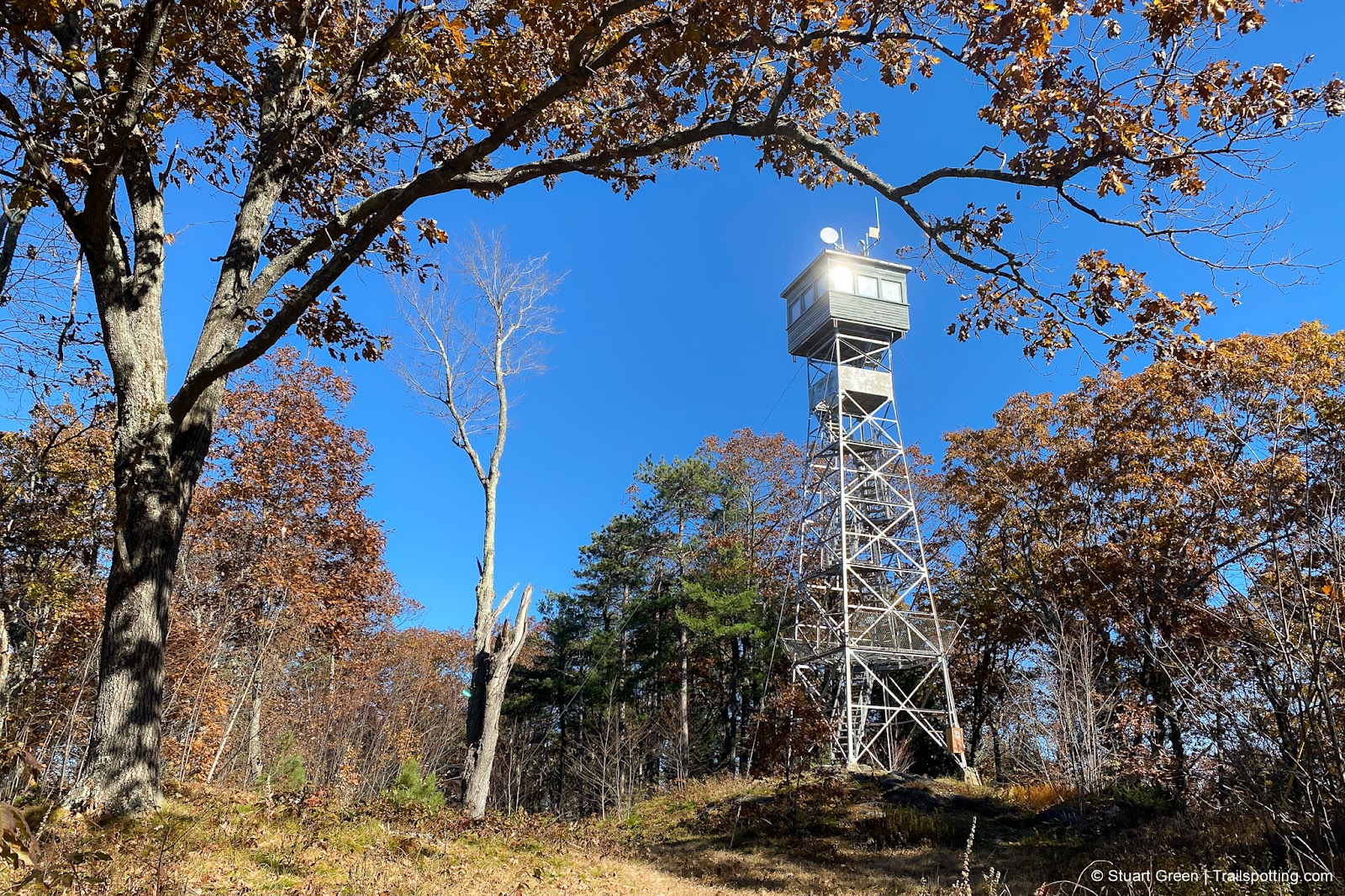
Federal Hill Fire Tower, Milford NH
• 3-star hike
• 0.7 mile out-and-back
• Easy difficulty | Gain 160 feet
• Milford, NH | Monadnock Region
…
• 0.7 mile out-and-back
• Easy difficulty | Gain 160 feet
• Milford, NH | Monadnock Region
…
Jim Hill River Walk, Lehtinen Park NH
• 3-star hike
• 1.2 to 3.0 mile options
• Easy difficulty | Elevation nominal
• Concord, NH | Merrimack Region
…
• 1.2 to 3.0 mile options
• Easy difficulty | Elevation nominal
• Concord, NH | Merrimack Region
…
Mast Yard & Lehtinen Park NH
• 4-star hike
• 4.0 to 5.3 mile options
• Easy difficulty | Elevation nominal
• Hopkinton & Concord, NH | Merrimack Region
…
• 4.0 to 5.3 mile options
• Easy difficulty | Elevation nominal
• Hopkinton & Concord, NH | Merrimack Region
…
Crotched Mountain, Francestown NH
• 4-star hikes
• 3.3 to 6.8 mile options
• Medium difficulty | Gain 840 to 1,410 feet
• Francestown, NH | Monadnock Region
…
• 3.3 to 6.8 mile options
• Medium difficulty | Gain 840 to 1,410 feet
• Francestown, NH | Monadnock Region
…
Pats Peak & Craney Hill, Henniker NH
• 4-star hike
• 3.1 mile out-and-back
• Easy difficulty | Gain 850 feet
• Henniker, NH | Merrimack Region
…
• 3.1 mile out-and-back
• Easy difficulty | Gain 850 feet
• Henniker, NH | Merrimack Region
…
Mt Pemigewasset (Indian Head) NH
• 4-star hike
• 3.5 to 4.6 mile options
• Medium difficulty | Gain 1,250 to 1,535 feet
• Lincoln, NH | White Mountains
…
• 3.5 to 4.6 mile options
• Medium difficulty | Gain 1,250 to 1,535 feet
• Lincoln, NH | White Mountains
…
Mount Major, Lake Winnipesaukee NH
• 5-star hike
• 2.7 to 7.4 mile options
• Medium difficulty | Gain 1,090 to 1,970 feet
• Alton, NH | Lakes Region
…
• 2.7 to 7.4 mile options
• Medium difficulty | Gain 1,090 to 1,970 feet
• Alton, NH | Lakes Region
…
Bald Mountain, Willard Pond NH
• 4-star hikes
• 2.0 to 2.7 mile options
• Easy difficulty | Gain 476 to 873 feet
• Antrim, NH | Monadnock Region
…
• 2.0 to 2.7 mile options
• Easy difficulty | Gain 476 to 873 feet
• Antrim, NH | Monadnock Region
…
New Boston Rail Trail NH
• 4-star trail
• 4.8 miles each way
• Medium difficulty | Easy elevation
• New Boston, NH | Merrimack Region
…
• 4.8 miles each way
• Medium difficulty | Easy elevation
• New Boston, NH | Merrimack Region
…
Kuncanowet Town Forest, Dunbarton NH
• 3-star hike
• 2.0 to 5.8 mile options
• Easy difficulty | Gain 112 to 535 feet
• Dunbarton, NH | Merrimack Region
…
• 2.0 to 5.8 mile options
• Easy difficulty | Gain 112 to 535 feet
• Dunbarton, NH | Merrimack Region
…
Plaistow Town Forest NH
• 3-star hike
• 1.0 to 9.0 mile options
• Easy difficulty | Gain 50 to 600 feet
• Plaistow, NH | Seacoast Region
…
• 1.0 to 9.0 mile options
• Easy difficulty | Gain 50 to 600 feet
• Plaistow, NH | Seacoast Region
…
Mt Lafayette & Franconia Ridge NH
• 5-star hike
• 7.9 mile loop
• Medium difficulty | Gain 3,800 feet
• Franconia, NH | White Mountains
…
• 7.9 mile loop
• Medium difficulty | Gain 3,800 feet
• Franconia, NH | White Mountains
…
Presented free of advertising. Please share trails safely and respect posted signs. Information on this site is provided without warranty regarding accuracy. Copyright © 2005-2024 Stuart Green all rights reserved. Republishing of content is not permitted without explicit consent. About Trailspotting .


