Skip to main content
Search
Search this site
California ·
New England ·
More
Posts
Showing posts with the label
newhampshire+merrimack
Show all
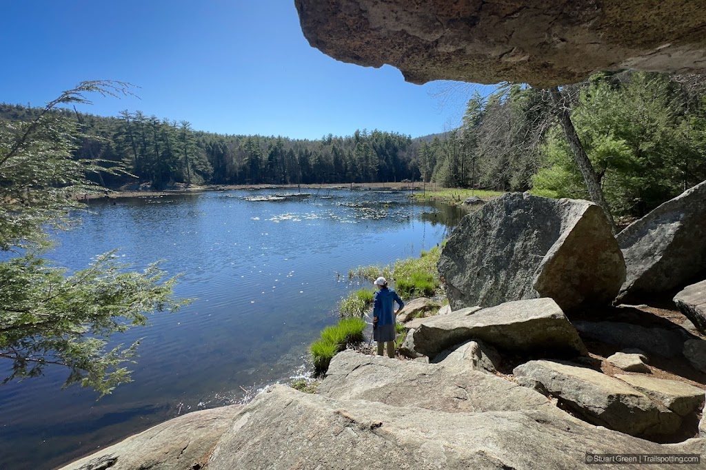
Wildcat Falls, Merrimack NH
Pulpit Rock & Joppa Hill, Bedford NH
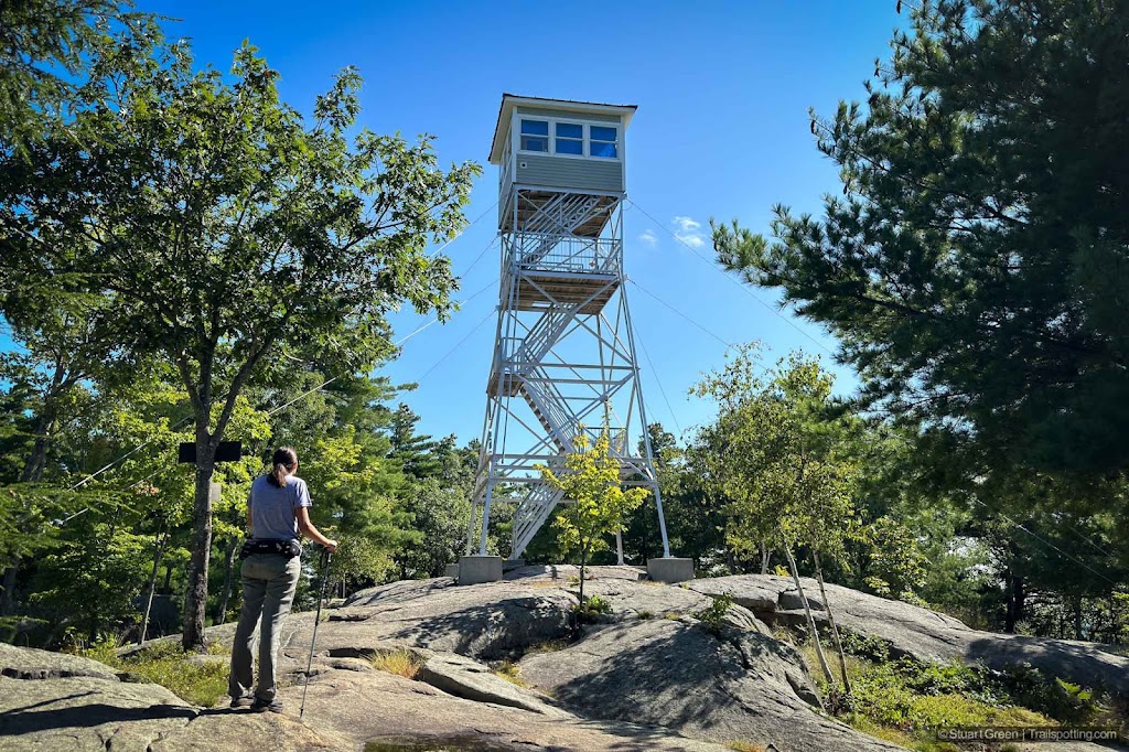
North Mt, Pawtuckaway State Park NH
Oak Hill, Knowlton Forest, Concord NH
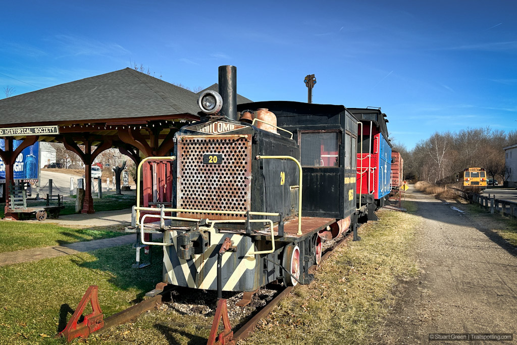
B&M Rail Trail, Amherst NH
South Manchester Rail Trail, NH
Rockingham Portsmouth Branch RT, NH
South Mt, Pawtuckaway State Park NH
Marjory Swope Park, Concord NH
Goffstown & Piscataquog Rail Trails, NH
Nashua River Rail Trail, NH-MA
Nashua Heritage Rail Trail, NH
Winant Park, Concord NH
Hooksett & Allenstown Rail Trails, NH
South Uncanoonuc Mt, Goffstown NH
Purgatory Falls, Mont Vernon NH
Windham Greenway Rail Trail, NH
Derry & Windham Rail Trails, NH
Granite-Brookline-Potanpio Rail Trails, NH
Concord-Lake Sunapee Rail Trail, NH
Older Posts
Home
Subscribe for new trail reviews weekly
Non-commercial and ad-free. Copyright © 2025 Stuart Green all rights reserved. Content provided without warranty of accuracy.
About Trailspotting