
South Mt, Pawtuckaway State Park NH
• 4-star hikes
• 1 to 6 mile options
• Moderate | Gain 440 to 940 feet
• Nottingham, NH | Merrimack Region
.

South Mountain Fire Tower
Though the curiously circular-shaped Pawtuckaway State Park may resemble a meteor crater, it is in fact a ring dike - the result of a column of hot magma rising from the Earth, later eroded over millions of years to reveal its perimeter and structure. This hike climbs up the southern perimeter of the dike to its second-highest peak, where we get to admire the views from the fire tower anchored at the summit.
We've mapped out the most popular ways to reach Pawtuckaway's South Mountain, the shortest of which is the Tower Trail, reaching the fire tower in just half a mile. For a longer excursion, consider the South Mountain Loop - or add the approach along the Mountain Trail from the park's southern entrance for a bigger adventure.
| ⬤ 4★ Tower Trail
GPX File · AllTrails · Directions GPX? |
| ⬤ 4★ South Mt Loop
GPX File · AllTrails · Directions |
| ⬤ 4★ Mt Trail + South Mt Loop
GPX File · AllTrails · Directions |
| $ CA State Park fee. Free in off-season. |
Note that during off-season Pawtuckaway State Park remains available to visit, but gates are closed and trailhead access is limited. You can find roadside parking at the intersection of Reservation Road and Tower Road. Details for the off-season are available on the park's official website, linked at the bottom of the page.
⬤ Tower Trail
The shortest in-season route to the fire tower begins at a large parking area off Tower Road and continues with a modest hill-climb up the forested Tower Trail.
⬤ South Mountain Loop
Regardless of the direction you take to complete this short loop of South Mountain the gradient of the necessary moderate hill-climb is much the same. We do prefer a counter-clockwise route when beginning at Tower Road, taking the quickest route to the top via the wide viewpoint area before reaching the fire tower on the summit. Enjoy the views up there, because you'll be in the trees all the way back, though the journey is a pleasant downhill romp.

Classic New Hampshire skyline as viewed from the fire tower.
Parking at the Tower Road trailhead will fit only two vehicles but there should be more parking opportunities in either direction. Further north there's Tower Road lot, or the other way there's roadside parking along Reservation Road. Please obey posted signs of course, as parking rules may have changed.
⬤ Mountain Trail & South Mt Loop
The mostly flat route along Mountain Trail from the south end of Pawtuckaway State Park is fairly easy going, with one stream crossing and welcome rock and root free sections that are sometimes even soft and carpeted with pine needles. Lush green mosses and ferns color your route as you remain in woodland throughout. Watch for the massive glacial erratic boulders along your journey.
There is no parking at the south end of Mountain Trail, so you'll need to leave your vehicles at the visitor center - a right-turn just before the ranger kiosk. Unfortunately you'll need to pound pavement to Mountain Trail, but at least it's only a third of a mile.
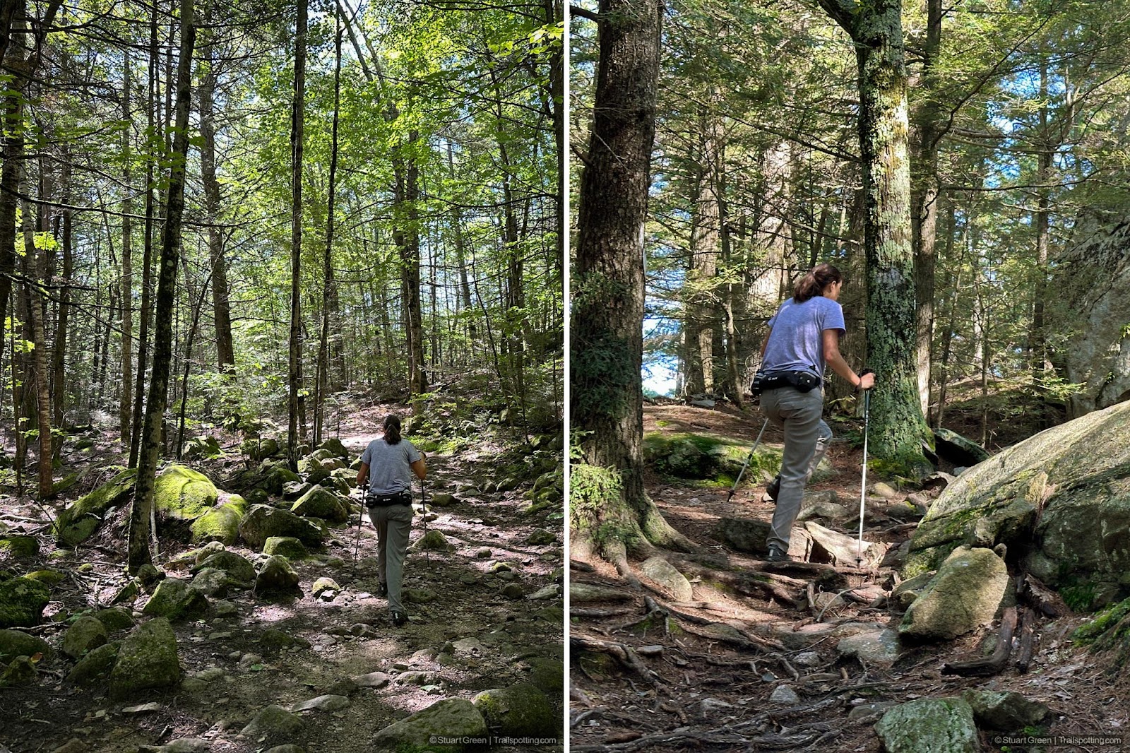
Typical conditions on the Loop Trail and Mountain Trails.
Tangents:
• Official: NH State Parks
• AllTrails Public: South Mt Tower Trail
• Facebook Group: Comment, Follow Us


New England Fire Towers
Discover our map of fire towers and the trails to find them.
Discover our map of fire towers and the trails to find them.

Best Trails NH: Merrimack Region
Check out the best hikes and rail trails around the region.
Check out the best hikes and rail trails around the region.