
Best of Merrimack Region, NH
 See latest trail reviews or download Map Pack
 Named for the wide and fast-flowing river of the same name, the Merrimack Region encompassess three of New Hampshire's largest cities and much of the state's historic industrial age development. It's also the region that Trailspotting calls home.
Here are some the region's best trails. We link to individual trail reviews with photography and smartphone route maps for easy navigation. Or scroll down to our free Map Pack for ALL our trail reviews in a single download for offline route finding.
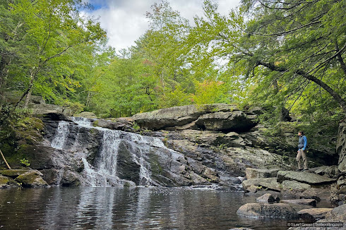
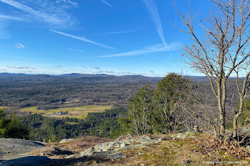
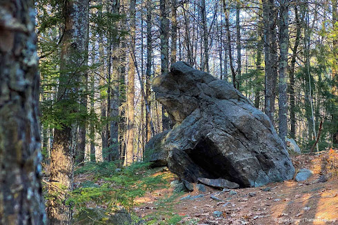
Hiking Trails

Rail Trails


Trailspotting Map Pack
|
MAP PACK: NH Merrimack Region Download · Instructions |
Map Packs provide a single smartphone download of all the region's trails, with trail reviews and route navigation. Free for personal use and even work when you're offline. We also like to using them as a 'todo' list - deleting each trail from our personal copy of the map as we visit each destination.
Regional Categories
| • Rating | |
| • Type | |
| • Difficulty | |
| • Mileage | |
| • 4+ Star Hikes |

Best Trails of New Hampshire
See our favorite hiking trails and rail trails for each region of New Hampshire.
See our favorite hiking trails and rail trails for each region of New Hampshire.

New Hampshire Rail Trails
The state's first and only complete rail trail map. Photos, reviews and downloads.
The state's first and only complete rail trail map. Photos, reviews and downloads.

New Hampshire Covered Bridges
Maps, lists, directions and nearby trails to the state's covered bridges.
Maps, lists, directions and nearby trails to the state's covered bridges.


