Skip to main content
Search
Search this site
California ·
New England ·
More
Posts
Showing posts with the label
newhampshire+4star
Show all
Wildcat Falls, Merrimack NH
Senter Falls, Lyndeborough NH
Ammonoosuc Ravine Falls, NH
Crystal Cascade, Pinkham Notch NH
Straightback Mt, Alton NH
Morse Preserve, Alton NH
Mt Shaw, Lake Winnipesaukee NH
Mt Israel, Squam Lake NH
Mt Hayes, Gorham NH
Mt Cardigan, Grafton County NH
Mt Cube, Orford NH
Mt Sunapee, Newbury NH
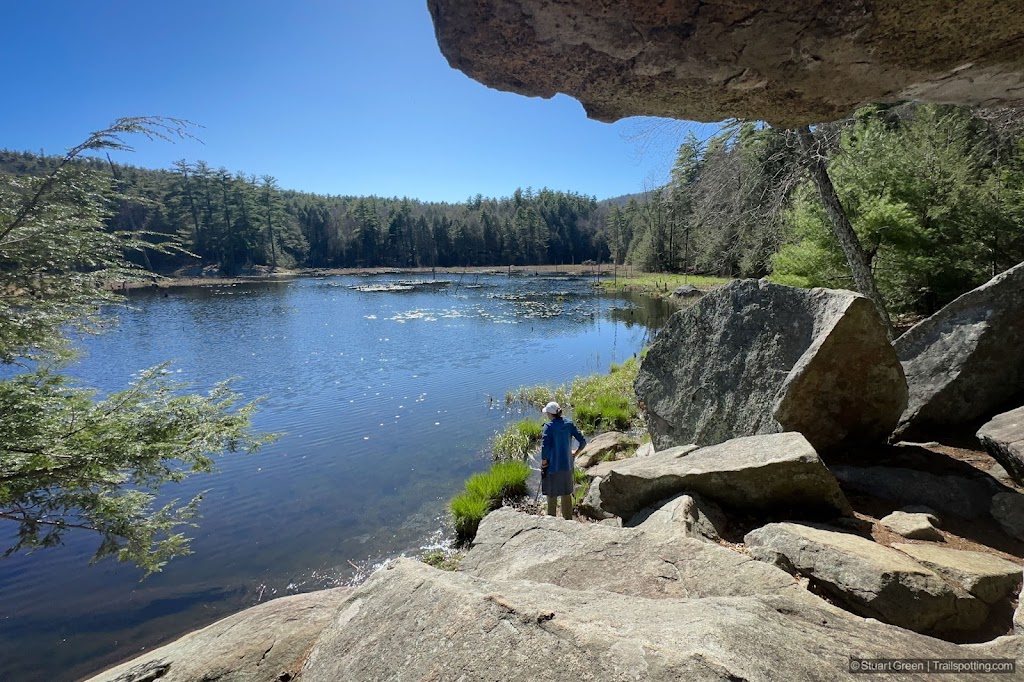
Loverens Mill Cedar Swamp, Antrim NH
Lonesome Lake, Franconia Notch NH
North & South Kinsman Mts, NH
Madame Sherri Forest, Chesterfield NH
Mt Tecumseh, Waterville Valley NH
North Mt, Pawtuckaway State Park NH
Fox Forest, Hillsborough NH
Oak Hill, Knowlton Forest, Concord NH
Older Posts
Home
Subscribe for new trail reviews weekly
Non-commercial and ad-free. Copyright © 2025 Stuart Green all rights reserved. Content provided without warranty of accuracy.
About Trailspotting