Skip to main content
Search
Search this site
California ·
New England ·
More
Posts
Showing posts with the label
railtrails
Show all
Presidential Rail Trail, NH
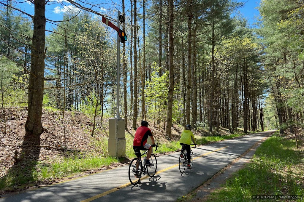
Bruce Freeman Rail Trail, MA
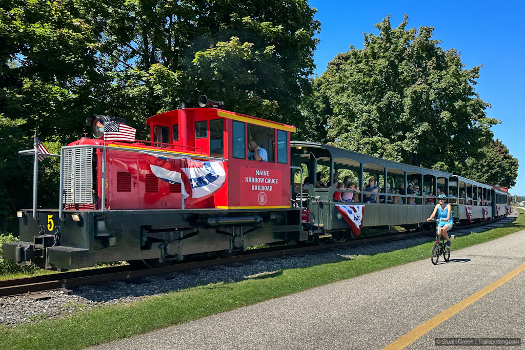
Eastern Promenade Trail, Portland ME
B&M Rail Trail, Amherst NH
Brown's Way Rail Trail, Hillsboro NH
South Manchester Rail Trail, NH
Rockingham Portsmouth Branch RT, NH
North Central Pathway Rail Trail, MA
Harrisville & Hancock Rail Trails NH
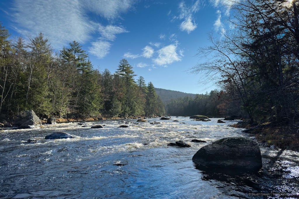
Upper Coös Rail Trail, NH
Warren Recreational Rail Trail, NH
Village Spur Rail Trail, Belmont NH
Old Colony Nature Path, Provincetown MA
Shining Sea Bikeway, Cape Cod MA
Cape Cod Rail Trail, MA
Old Colony Rail Trail, Cape Cod MA
Watertown & Cambridge Rail Trails, MA
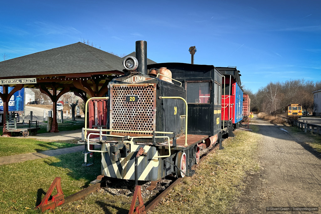
Northern Rail Trail, NH
Goffstown & Piscataquog Rail Trails, NH
Middleton Rail Trails, MA
Older Posts
Home
Subscribe for new trail reviews weekly
Non-commercial and ad-free. Copyright © 2025 Stuart Green all rights reserved. Content provided without warranty of accuracy.
About Trailspotting