Skip to main content
Search
Search this site
California ·
New England ·
More
Posts
Showing posts with the label
california+summits
Show all
Cuyamaca Peak, Descanso CA
Stonewall Peak, Descanso CA
Volcan Mountain, Julian CA
Daley Ranch & Stanley Peak, CA
Twin Peaks, Poway CA
El Cajon Mountain, Lakeside CA
Big Laguna Meadow, CA
Garnet Peak, Laguna Mountains CA
Cowles Mt, San Diego CA
Bishop Peak, San Luis Obispo CA
Iron Mountain, Poway CA
Half Dome, Yosemite CA
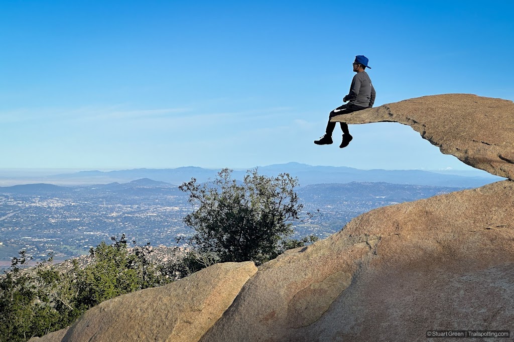
Potato Chip Rock & Mt Woodson, CA
The Nipple, Blue Lakes CA
Ryan Mountain, Joshua Tree CA
Lost Horse Mine, Joshua Tree CA
Hollywood Sign & Hollywood Hills, CA
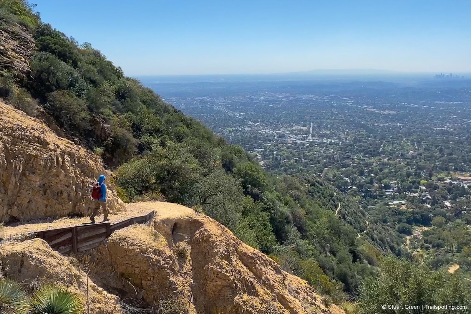
Echo Mountain, Pasadena CA
Mission Peak Regional Preserve CA
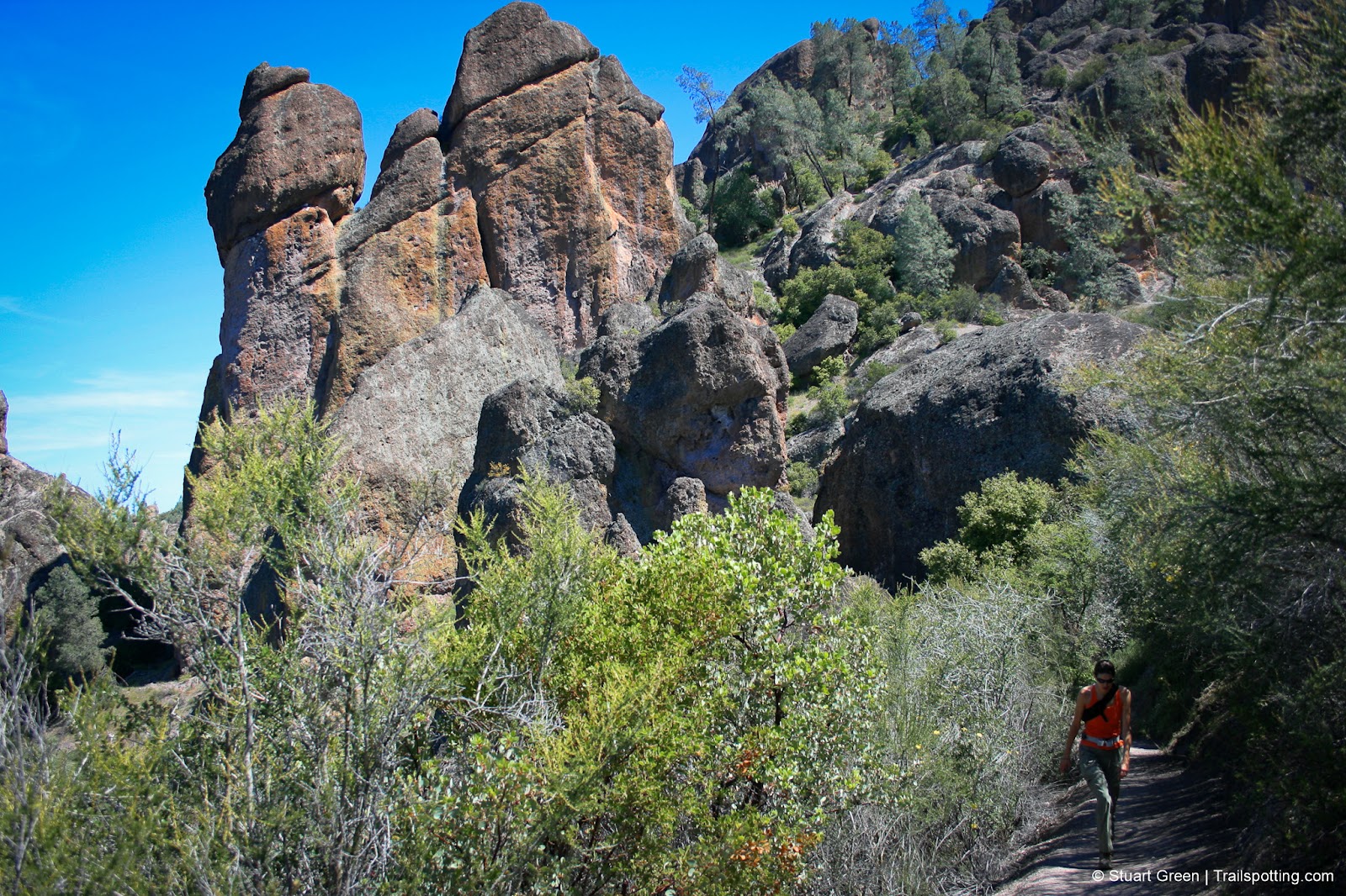
High Peaks & Balconies Cave, Pinnacles CA
Older Posts
Home
Subscribe for new trail reviews weekly
Non-commercial and ad-free. Copyright © 2025 Stuart Green all rights reserved. Content provided without warranty of accuracy.
About Trailspotting