Skip to main content
Search
Search this site
California ·
New England ·
More
Posts
Showing posts with the label
california+hike+waterfalls
Show all
Montecito Hot Springs, CA
Los Penasquitos Canyon, San Diego CA
Half Dome, Yosemite CA
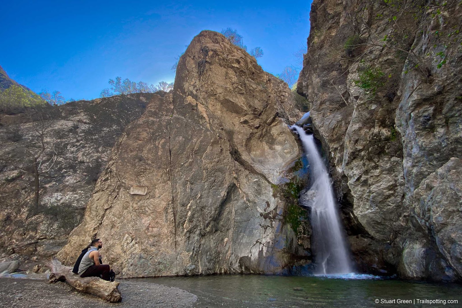
Black Star Canyon Falls, Silverado CA
Tahquitz Canyon Falls, Palm Springs CA
Eaton Canyon Falls, Pasadena CA
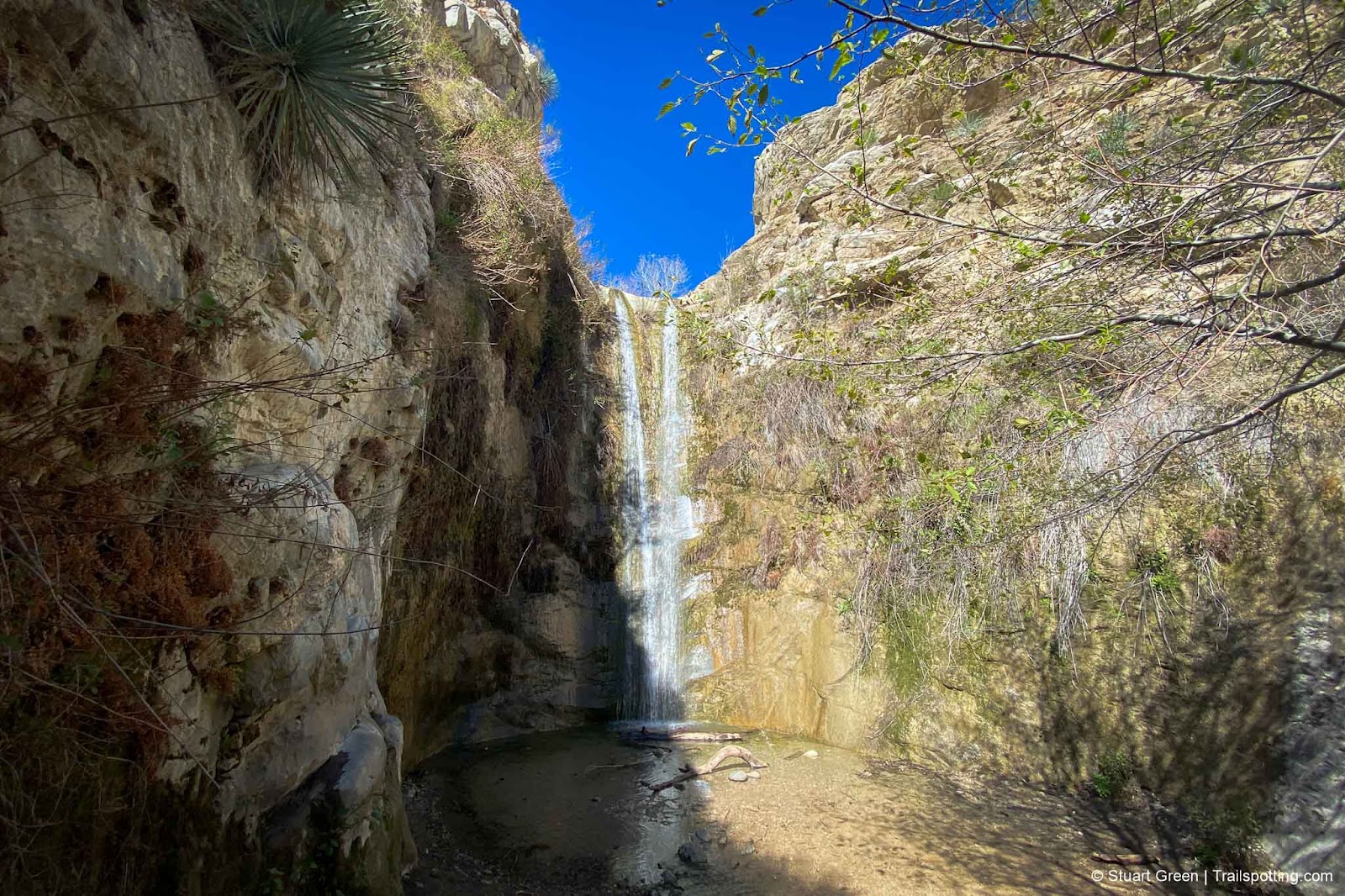
Trail Canyon Falls, Los Angeles CA
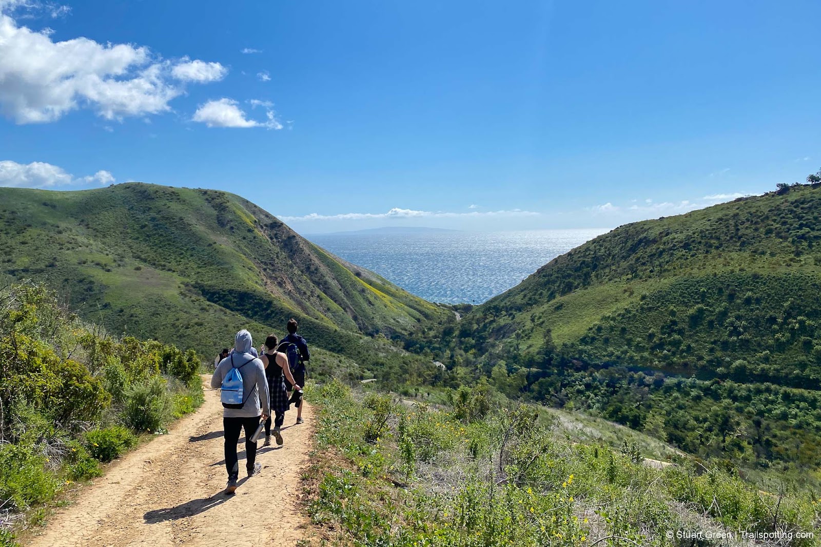
Solstice Canyon, Malibu CA
The Potholes, Silver Lake CA
McWay Falls, Julia Pfeiffer Burns CA
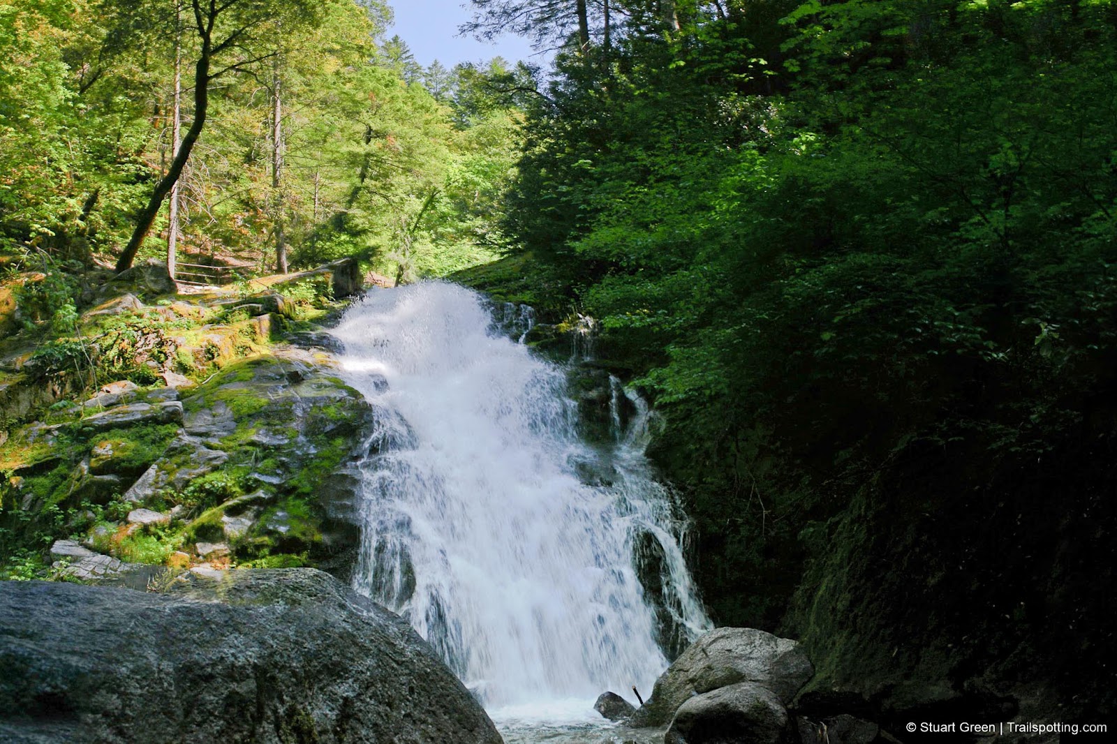
Whiskeytown Falls, Shasta-Trinity CA
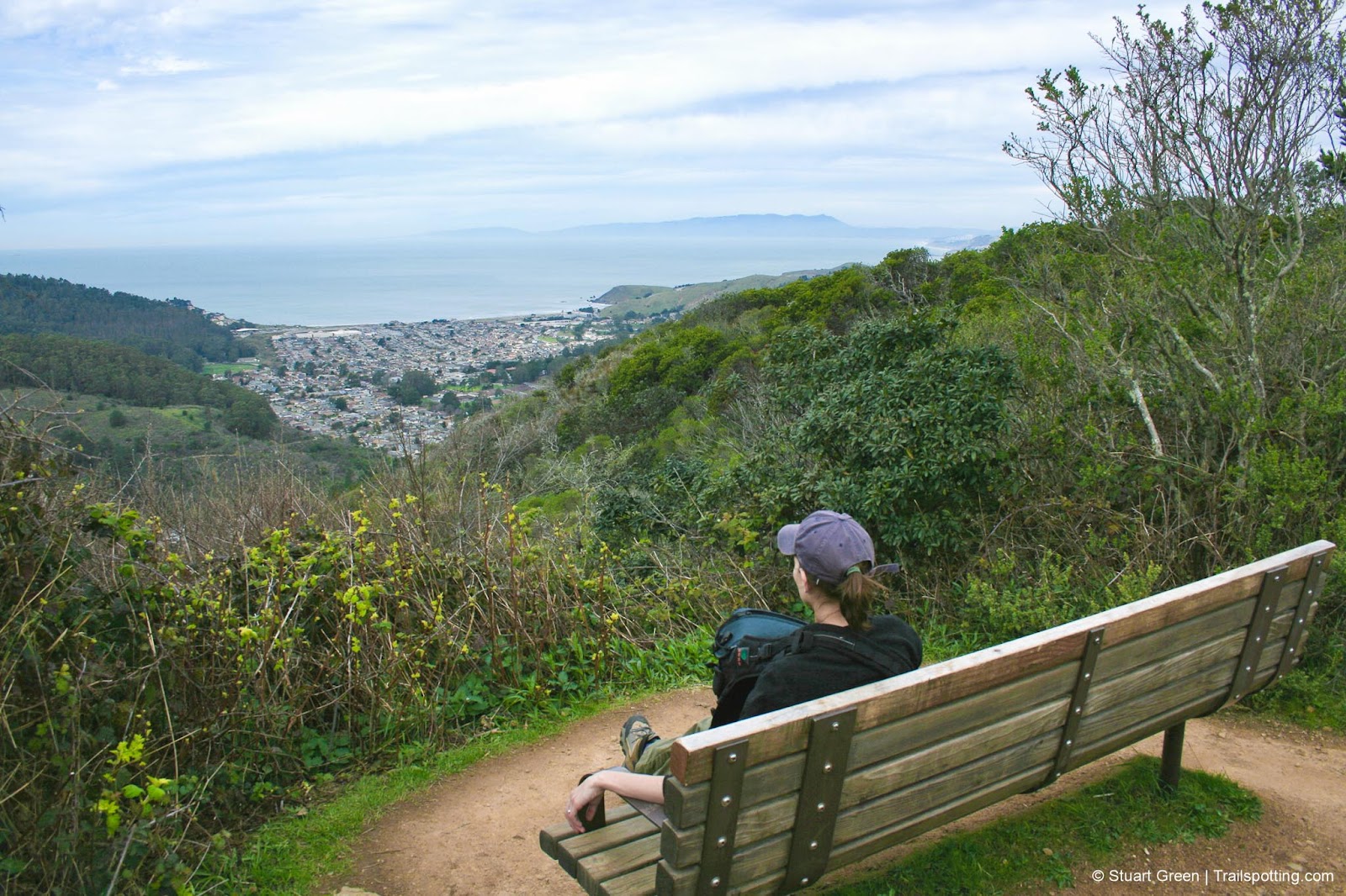
San Pedro Valley County Park, Pacifica CA
Mist Trail, Vernal & Nevada Falls CA
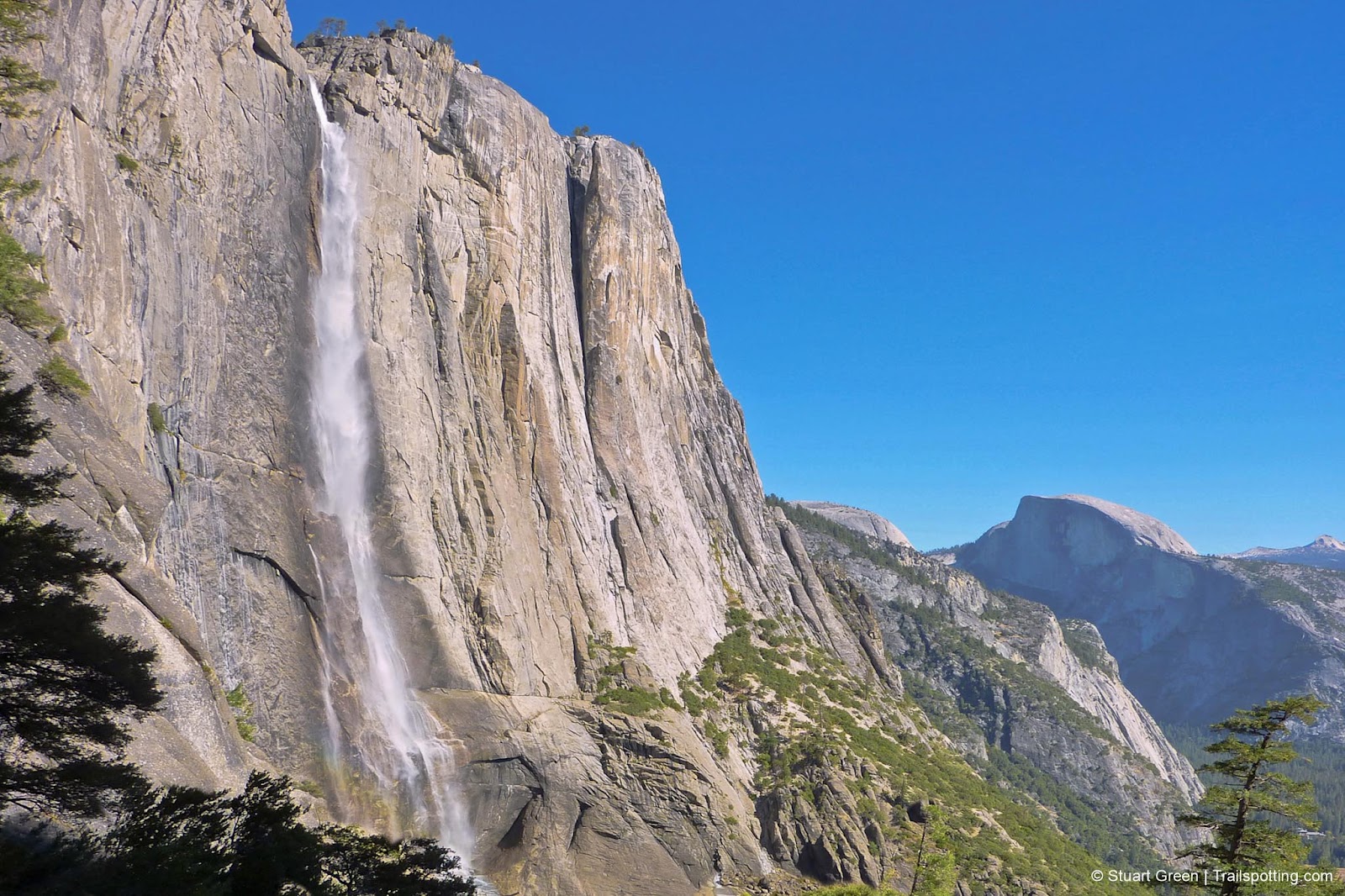
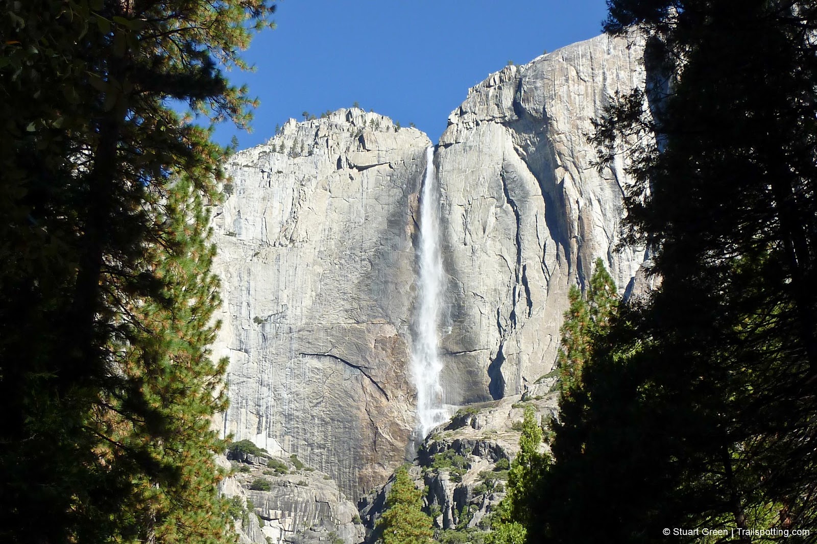
Upper Yosemite Falls CA
Lower Yosemite Falls CA
Horsetail Falls & Pyramid Creek CA
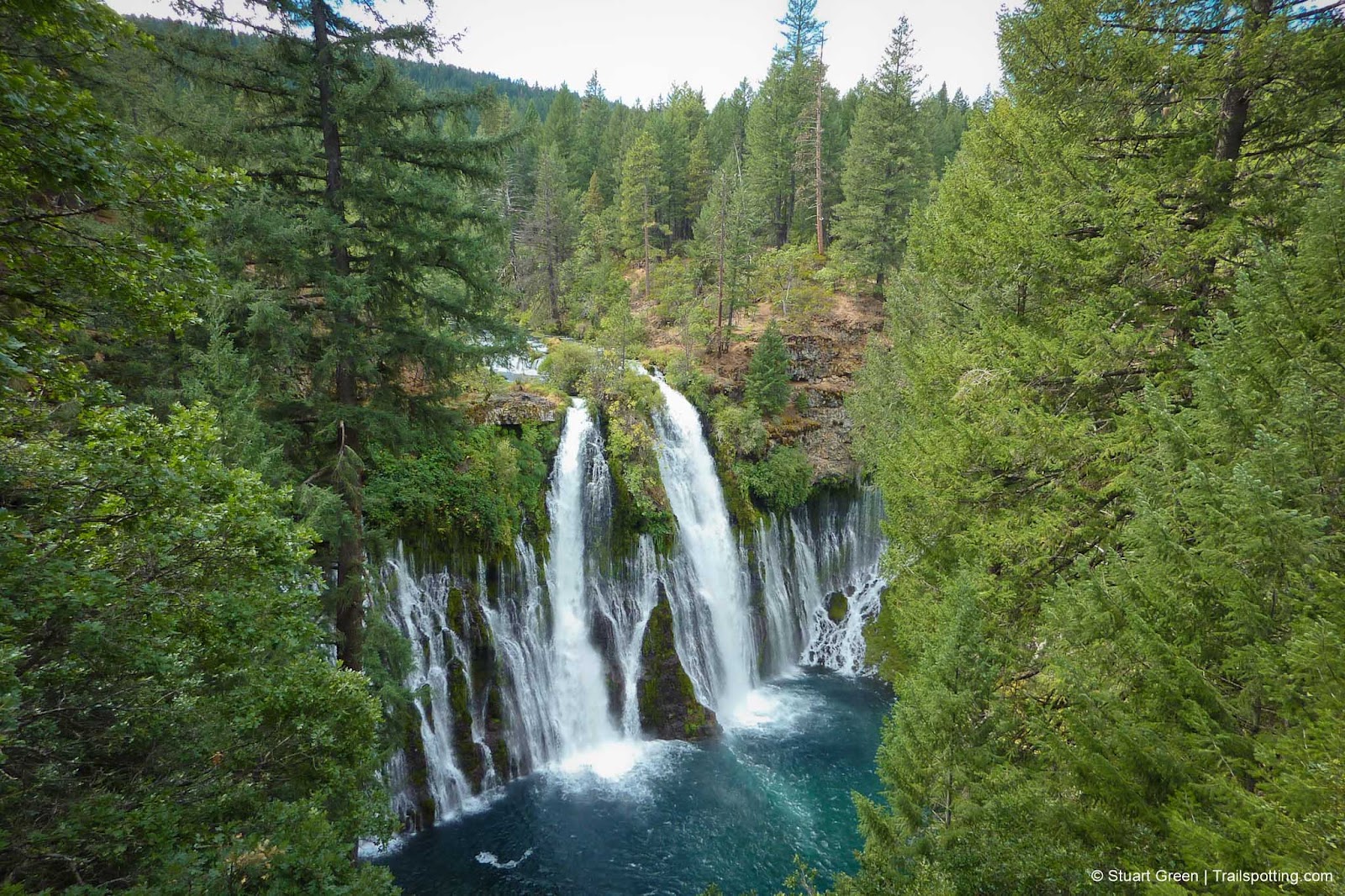
Burney Falls, Shasta County CA
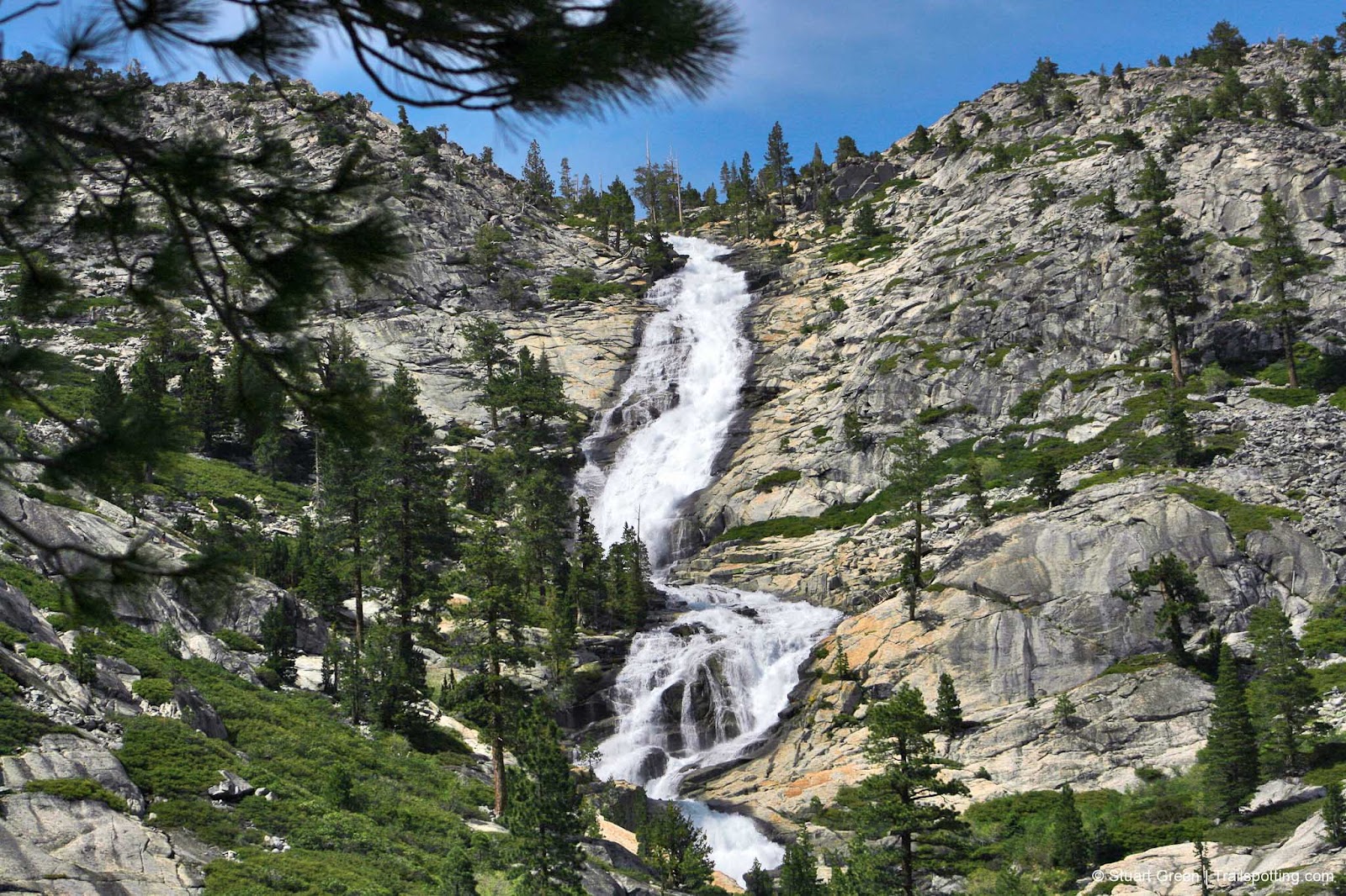
Feather Falls, Plumas National Forest CA
Older Posts
Home
Subscribe for new trail reviews weekly
Non-commercial and ad-free. Copyright © 2025 Stuart Green all rights reserved. Content provided without warranty of accuracy.
About Trailspotting