Black Star Canyon Falls, Silverado CA
• 5-star hike
• 7 mile out-and-back
• Moderate to Hard | Gain 840 feet
• Silverado, CA | Los Angeles Region
.

The waterfall at Black Star Canyon's end.
Exploring Orange County's Black Star Canyon is a fun adventure for everyone, regardless of whether you want to tackle the increasingly difficult terrain that approaches the magnificent waterfall at the end of the hike. The canyon's name comes from the Black Star Coal Mining Company that operated in these mountains in the late nineteenth century.
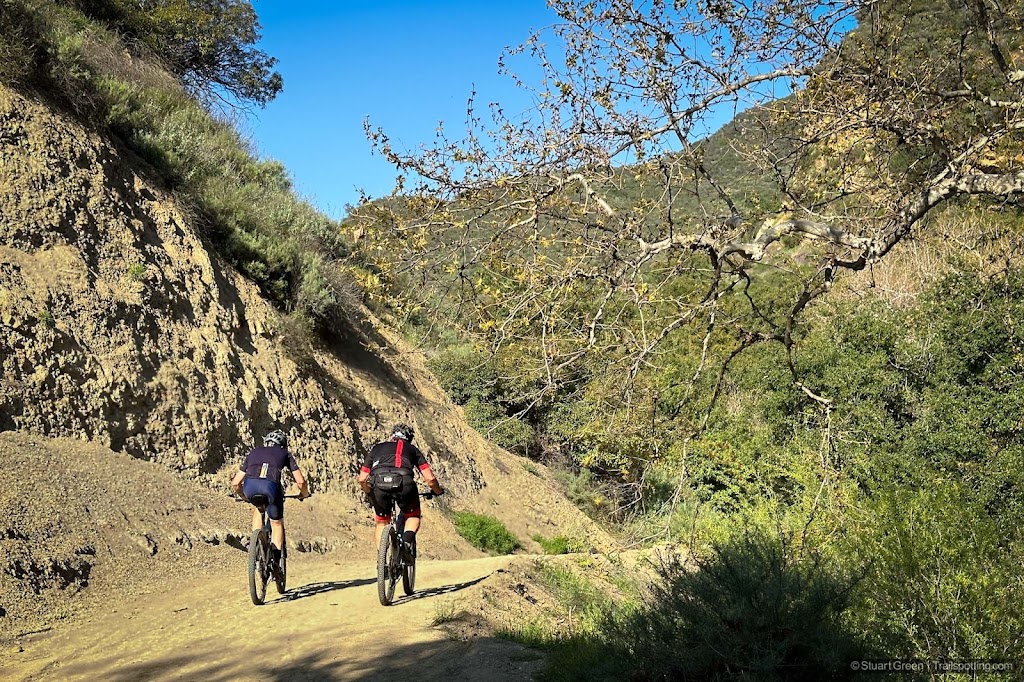
To access the creek that leads to the waterfall, visitors must first hike two-and-a-half-mile hike down a quiet, gated private road that is also a public right of way. Private property signs and warnings of electric fences decorate the sides of the road, and respecting their property rights is a good way to thank the local residents for keeping the road in such good condition. This initial leg of the journey lack shade, so good sun protection is recommended.
| ⬤ 5★ Black Star Canyon Trail
GPX File · AllTrails · Directions GPX? |
| P Free parking |
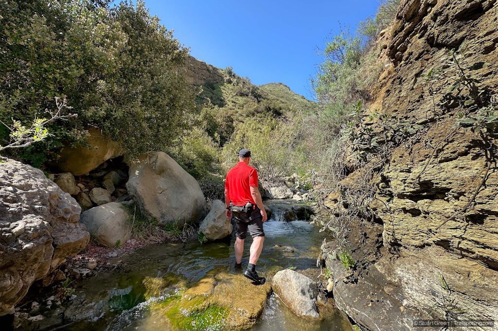
The trail leaves the road at a signposted junction and continues up the creek. From here the trail is often a haphazard and informal affair that regularly crosses the creek and will frequently have you guessing about which route to take. Though the shaded creek section of trail is less than a mile to the falls, allow for plenty of time to negotiate your way up. We chose to embrace the water and at times walked directly up the creek.
Expect to find intermittent dry trail segments, creek crossings and rocky scrambles that become progressively more challenging the further you go. The last quarter-mile to the waterfall includes several rocky scrambles that can be slippery at times. Ropes have been added by some helpful individuals to aid in maneuvering through some of the hardest terrain. We recommend progressing only as far along the rock scrambles as you feel comfortable, as the canyon hike is still a lot of fun even if you don't reach the waterfall. If it provides any reassurance, we found the return descent to be less strenuous and less difficult.

Sometimes the direct route is the best route.
This trail is one of the most popular in the region, so expect to share it with others at any time of day. The advantage of its popularity at least means that you're unlikely to be troubled by the rattlesnakes that populate this area, but will have already been driven from the trail by other hikers. We still maintained our vigilance as we stepped over rocks and branches however, but the only wildlife we saw were lizards and frogs on the creek trail and turkey vultures on the access road.
Since there's a fair chance that you'll get your feet wet on this hike, you may want to consider carrying a second pair of footwear for the return 2.5 miles back down the service road to avoid blisters. We also wish there was a bicycle rack where the canyon trail meets the access road so folk has the option to cycle to the trail. However, this trail and trailhead parking lot is already busy enough that adding facilities would only draw more people to this highly memorable trail.

Canyon Road is also a popular mountain bike route.

Camouflaged frog on the creek trail.
Tangents:
• Trail Links: Official
• AllTrails Public: Black Star Canyon Falls
• Facebook Group: Comment, Follow Us

LA's Best Trails
Explore the natural side of Los Angeles with Trailspotting's Best Trails feature.
Explore the natural side of Los Angeles with Trailspotting's Best Trails feature.

California Coastlines
California coastal hikes and beaches to check out.
California coastal hikes and beaches to check out.

California Waterfalls
Trails to some of California's greatest waterfalls.
Trails to some of California's greatest waterfalls.


