Skip to main content
Search
Search this site
California ·
New England ·
More
Posts
Showing posts with the label
3star
Show all
Kanaka Loop, Julian CA
Elfin Forest, Escondido CA
Twin Peaks, Poway CA
Cabrillo National Monument, CA
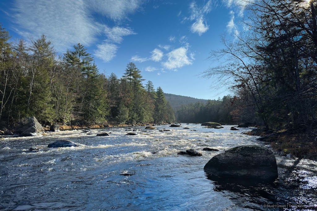
Brennan Falls, Francestown NH
Gobble Mountain, Chester MA
Mount Sugarloaf, Deerfield MA
Mallyan Spout, North York Moors UK
Cowles Mt, San Diego CA
Hole of Horcum, North York Moors UK
Blakey Topping, North York Moors UK
Pulpit Rock & Joppa Hill, Bedford NH
Madame Sherri Forest, Chesterfield NH
Wantastiquet Mt, Chesterfield NH
Parker Mt, Strafford NH
South Lykken Trail, Palm Springs CA
B&M Rail Trail, Amherst NH
Brown's Way Rail Trail, Hillsboro NH
South Manchester Rail Trail, NH
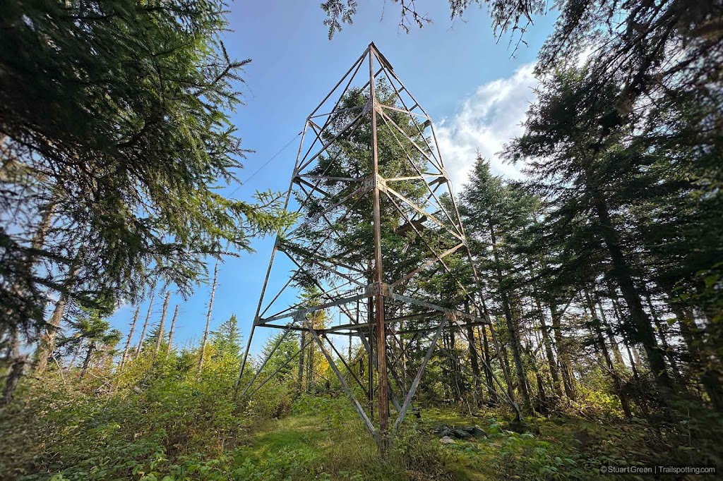
Deer Mountain, Pittsburg NH
Older Posts
Home
Subscribe for new trail reviews weekly
Non-commercial and ad-free. Copyright © 2025 Stuart Green all rights reserved. Content provided without warranty of accuracy.
About Trailspotting