
Best of Lakes Region, NH
.  See latest trail reviews or download
 Map Pack
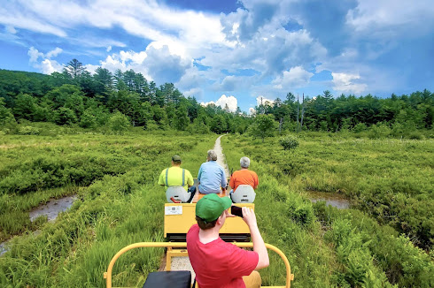
 The Lakes Region of New Hampshire beckons hikers with its serene lakeside trails and picturesque mountain vistas. Situated amidst the tranquil waters of Lake Winnipesaukee, Lake Winnisquam, and Squam Lake among others, the region offers a diverse range of hiking experiences. From the rugged trails of Mount Major overlooking Lake Winnipesaukee to the peaceful strolls along the shores of Squam Lake, hikers can immerse themselves in the natural beauty and tranquility of the New Hampshire wilderness.
Here are some the region's best trails. We link to individual trail reviews with photography and smartphone route maps for easy navigation. Or scroll down to our free Map Pack for ALL our trail reviews in a single download for offline route finding.
Map Packs provide a single smartphone download of all the region's trails, with trail reviews and route navigation. Free for personal use and even work when you're offline. We also like to using them as a 'todo' list - deleting each trail from our personal copy of the map as we visit each destination.
Categories


See latest trail reviews or download
The Lakes Region of New Hampshire beckons hikers with its serene lakeside trails and picturesque mountain vistas. Situated amidst the tranquil waters of Lake Winnipesaukee, Lake Winnisquam, and Squam Lake among others, the region offers a diverse range of hiking experiences. From the rugged trails of Mount Major overlooking Lake Winnipesaukee to the peaceful strolls along the shores of Squam Lake, hikers can immerse themselves in the natural beauty and tranquility of the New Hampshire wilderness.Here are some the region's best trails. We link to individual trail reviews with photography and smartphone route maps for easy navigation. Or scroll down to our free Map Pack for ALL our trail reviews in a single download for offline route finding.
Best Hiking


Trailspotting Map Pack
|
MAP PACK: NH Lakes Region Download · Instructions |
Map Packs provide a single smartphone download of all the region's trails, with trail reviews and route navigation. Free for personal use and even work when you're offline. We also like to using them as a 'todo' list - deleting each trail from our personal copy of the map as we visit each destination.
Categories
| • Rating | |
| • Type | |
| • Difficulty | |
| • Mileage | |
| • 4+ Star Hikes |
Best Trails of New Hampshire
See our favorite hiking trails and rail trails for each region of New Hampshire.
See our favorite hiking trails and rail trails for each region of New Hampshire.
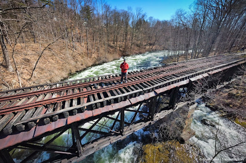
New Hampshire Rail Trails
The state's first and only complete rail trail map. Photos, reviews and downloads.
The state's first and only complete rail trail map. Photos, reviews and downloads.
New Hampshire Fire Towers
Discover our map of fire towers and the trails to find them.
Discover our map of fire towers and the trails to find them.


