

Dias Ridge Trail, Mt Tamalpais CA
• 3-star hike
• 5 mile loop
• Moderate | Gain 930 feet
• Mill Valley, CA | San Francisco Region
.
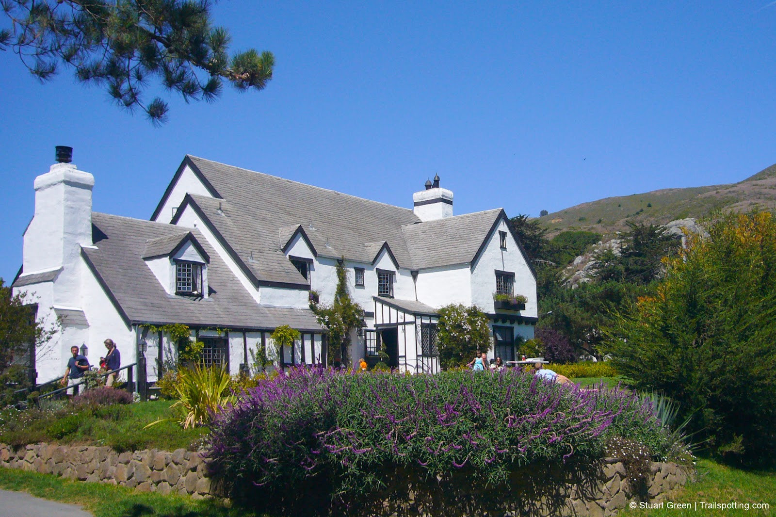
The Pelican Inn is the start & finish of this route
Almost certain to be a beer lovers' dream, this trail both starts and finishes at the Pelican Inn, a faithfully recreated seventeenth century English country pub, where you can enjoy a shepherd's pie by the fireplace or a pint of ale on the lawn.
Set out in a counter clockwise route from an unmarked trailhead across the road from the pub, and you'll soon be climbing up the chaparral covered Diaz Ridge. Seven hundred feet of elevation gain later and you'll be overlooking Muir beach to the west and admiring the Mt. Tamalpais State Park landscape to the north.
| ⬤ 3★ Dias Ridge Trail
4.9mi loop, moderate, gain 930 ft GPX File · AllTrails · Directions GPX? |
| P Free parking |
Follow the ridgeline north-east for just under a mile and you'll hit the junction to the Miwok Trail, named for the folk who originally settled in the area as long as five thousand years ago. The Miwok trail switchbacks down the hill and into the oak woodlands that also share the return leg of the route - the Redwood Creek Trail, and onto the final half-mile along the road back to the pub.
Route Summary:
• Dias Ridge Fire Rd > Miwok Tr > Redwood Creek Tr > Muir Woods Rd/Shoreline Hwy
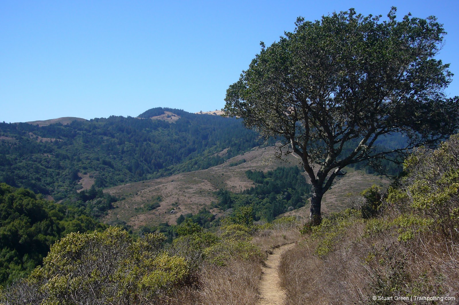
The chapparal and grasslands of Mount Tamalpais.
External links:
Mt Tamalpais State Park website
Dias Ridge at AllTrails
Trailspotting nearby:
4★ Muir Woods Tourist Club Loop (5 mi)
4★ Steep Ravine (6 mi)
4★ East Peak Mt Tamalpais (1 mi)
Show Area Map
Trailspotting free offline maps:
MAP PACK San Francisco Region

Best Trails of California
See our favorite hiking trails for each region of California.
See our favorite hiking trails for each region of California.

California Summits
Explore mountain-top hikes around California with Trailspotting.
Explore mountain-top hikes around California with Trailspotting.


