
South Manchester Rail Trail, NH
• 4-star trail
• 2 miles each way
• Easy | Low gradient
• Manchester, NH | Merrimack Region
.
 Recently restored Cohas Brook trestle (Before)
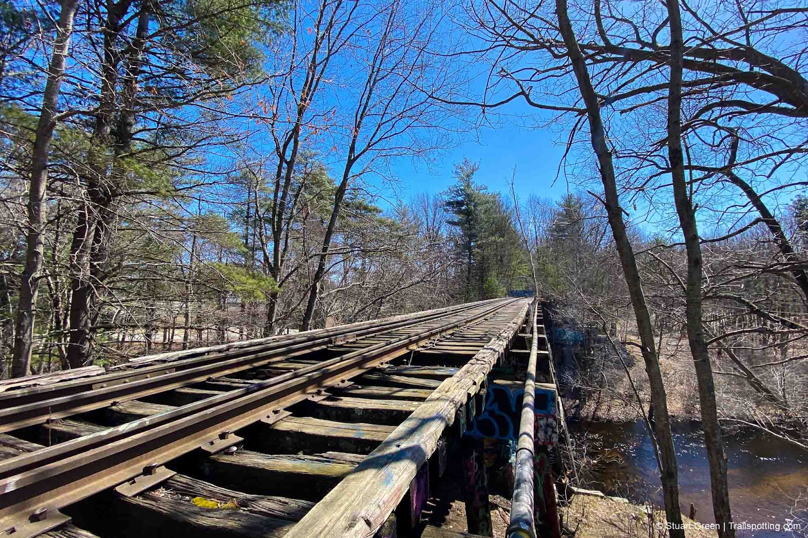
Once the powerhouse of the Northern New England states and still the largest city, Manchester grew up around the many textile mills constructed below Merrimack River’s Amoskeag Falls. Railroad routes eventually sprung up in all directions with Manchester at the center, though only one live route remains today.
The South Manchester Trail is a recently extended route constructed atop an abandoned Boston & Maine Railroad alignment. Though previously only one paved mile was available - alongside Nutts Pond and through a residential neighborhood, the new for 2024 extension doubles its length with a new asphalt paved trail from Gold Street to the outer perimeter of Manchester Airport.
| ⬤ 3★ South Manchester Rail Trail
GPX File · AllTrails · Directions GPX? |
| P Free parking |
North of Beech Street we have identified the trail as rough, but in reality it's an undeveloped, trash-strewn path that is frequently overgrown and approaching Elm Street is also a muddy mess. This section is not something we'd recommend at this time, but we hope that a future further trail extension comes to pass and will provide an important link to Manchester and to other nearby rail trails like the Piscataquog-Goffstown Rail Trails and Rockingham Recreational Rail Trail.
There are also plans to create a new bicycle trail link around the perimeter of the airport that visits the aviation museum and connects with the Londonderry Rail Trail. We have identified the start of these neighboring rail trails on our map if you're interested in exploring them and link to reviews of those trails below.
⚠ Trail Conditions: 1.9 miles of smooth asphalt heading north from airport. North of S Beech St is very rough and not recommended.

New asphalt extension close to the airport.

Fishing on the banks of Manchester's Nutt Pond.

Crossing under the interstate.
Tangents:
• AllTrails Public: South Manchester Trail
• Facebook Group: Comment, Follow Us


Rail Trails of New England
The first and only complete rail trail map. With photos, reviews and downloads.
The first and only complete rail trail map. With photos, reviews and downloads.

Best Trails NH: Merrimack Region
Check out the best hikes and rail trails around the region.
Check out the best hikes and rail trails around the region.