
Los Trancos & San Andreas Fault, CA
• 3-star hike
• 3 mile loop
• Easy | Gain 510 feet
• Mountain View, CA | San Francisco Region
.
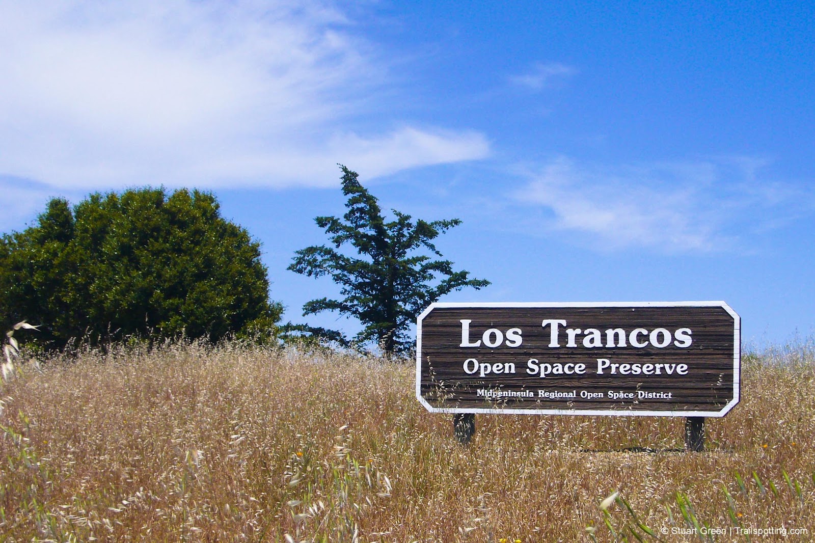
Los Trancos Open Space Preserve
Located in the hills above Los Altos, about 45 miles south of San Francisco, Los Trancos Open Preserve features the educational Earthquake Trail that crosses directly over the San Andreas Fault. This preserve offers hikers a chance to observe one of the world's most significant geological features up close.
Visitors should pick up an interpretive map at the trailhead. This map identifies subtle landscape features that reveal evidence of fault activity, including offset fence lines, unusual depressions, and distinct vegetation patterns that might otherwise go unnoticed.
| ⬤ 3★ Los Trancos Fault Trail
GPX File · AllTrails · Directions GPX? |
| P Free parking |
The trail begins in open terrain with expansive views. On clear days, hikers can see across the bay to San Bruno Mountain and occasionally as far as Loma Prieta in the Santa Cruz Mountains. These viewpoints provide context for understanding the regional landscape and fault system.
As you continue, the path moves into woodland, where oak and madrone trees provide shade for most of the hike. The terrain is generally moderate with manageable elevation changes, making it accessible for most hikers. Interpretive signs along the route explain fault mechanics and the local impact of past earthquakes.

Great views from the trailhead already!

Fenceline interrupted by the fault. | Markers identify the fault line.
Tangents:
• Official: Los Trancos Preserve
• AllTrails Public: Los Trancos
• Facebook Group: Comment, Follow Us


California Waterfalls
Trails to some of California's greatest waterfalls.
Trails to some of California's greatest waterfalls.

Best Trails of California
See our favorite hiking trails for each region of California.
See our favorite hiking trails for each region of California.