Posts
Showing posts with the label over10miles
Hayeswater Loops, Lake District UK
• 5-star hikes
• 6 to 12 mile options
• Moderate | Gain 830-1,280m (2,730-4,190 ft)
• Hartsop, UK | Cumbria
…
• 6 to 12 mile options
• Moderate | Gain 830-1,280m (2,730-4,190 ft)
• Hartsop, UK | Cumbria
…
Half Dome, Yosemite CA
• 5-star hike
• 16 mile out-and-back
• Hard | Gain 4,800 ft (Peak 8,836 ft)
• Yosemite, CA | Yosemite National Park
…
• 16 mile out-and-back
• Hard | Gain 4,800 ft (Peak 8,836 ft)
• Yosemite, CA | Yosemite National Park
…
Warren Recreational Rail Trail, NH
• 4-star trail
• 15 miles each way
• Easy & Moderate | Low to moderate gradient
• Warren, NH | White Mountains
…
• 15 miles each way
• Easy & Moderate | Low to moderate gradient
• Warren, NH | White Mountains
…
Northern Rail Trail, NH
• 4 & 5-star trail
• 58 miles each way
• Easy | Low & moderate gradient
• Lebanon to Boscawen, NH | Sunapee Region
…
• 58 miles each way
• Easy | Low & moderate gradient
• Lebanon to Boscawen, NH | Sunapee Region
…
Nashua River Rail Trail, NH-MA
• 4-star trail
• 12 miles each way
• Easy | Low gradient
• Pepperell-Ayer MA | Northeast MA,Merrimack NH
…
• 12 miles each way
• Easy | Low gradient
• Pepperell-Ayer MA | Northeast MA,Merrimack NH
…
Danvers & Topsfield Rail Trails, MA
• 4-star trail
• 11 miles each way
• Easy | Low gradient
• Topsfield - Danvers, MA | Northeast Region
…
• 11 miles each way
• Easy | Low gradient
• Topsfield - Danvers, MA | Northeast Region
…
Cotton Valley Rail Trail, NH
• 5-star trail
• 12 miles each way
• Easy & Hard | Low to moderate gradient
• Wolfeboro - Wakefield, NH | Lakes Region
…
• 12 miles each way
• Easy & Hard | Low to moderate gradient
• Wolfeboro - Wakefield, NH | Lakes Region
…
Cheshire Rail Trail South, NH
• 4-star trail
• 20 miles each way
• Moderate | Moderate gradient
• Keene - Fitzwilliam, NH | Monadnock Region
…
• 20 miles each way
• Moderate | Moderate gradient
• Keene - Fitzwilliam, NH | Monadnock Region
…
Seacoast Greenway Rail Trail, NH
• 4-star hikes
• 8 to 13 miles each way
• Easy & medium | Easy elevation
• Portsmouth - Seabrook, NH | Seacoast Region
…
• 8 to 13 miles each way
• Easy & medium | Easy elevation
• Portsmouth - Seabrook, NH | Seacoast Region
…
SRK Greenway, Sunapee NH
• 4-star hikes
• 76 mile circuit | 3 to 8 mile sections
• Moderate | Gain 370 to 1,860 feet
• Newbury - Andover, NH | Sunapee Region
…
• 76 mile circuit | 3 to 8 mile sections
• Moderate | Gain 370 to 1,860 feet
• Newbury - Andover, NH | Sunapee Region
…
Sugar River Rail Trail & Bobby Woodman, NH
• 5-star trail
• 9.5 to 11.3 miles each way
• Medium - Hard difficulty | Moderate elevation
• Newport - Claremont, NH | Sunapee Region
…
• 9.5 to 11.3 miles each way
• Medium - Hard difficulty | Moderate elevation
• Newport - Claremont, NH | Sunapee Region
…
Granite-Brookline-Potanpio Rail Trails, NH
• 4-star trail
• 11.0 miles each way
• Easy/Medium difficulty | Easy - Moderate elevation
• Milford to Brookline NH | Merrimack Region
…
• 11.0 miles each way
• Easy/Medium difficulty | Easy - Moderate elevation
• Milford to Brookline NH | Merrimack Region
…
Hillsborough Rail Trail NH
• 4-star trail
• 7.4 mile each way
• Medium difficulty | Easy elevation
• Hillsborough - Bennington, NH | Monadnock Region
…
• 7.4 mile each way
• Medium difficulty | Easy elevation
• Hillsborough - Bennington, NH | Monadnock Region
…
Peterborough Rail Trail NH
• 4-star trail
• 8.5 miles each way
• Medium difficulty | Easy elevation
• Peterborough, NH | Monadnock Region
…
• 8.5 miles each way
• Medium difficulty | Easy elevation
• Peterborough, NH | Monadnock Region
…
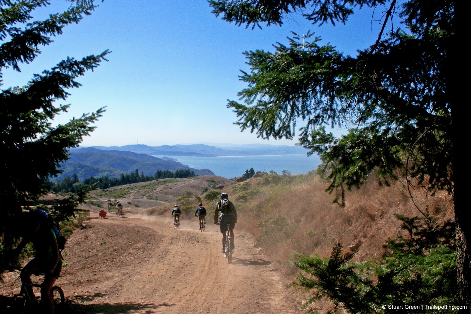
Coast View Loop, Mt Tamalpais CA
• 4-star hike
• 8.3 mile loop
• Medium difficulty | Gain 1,500 feet
• Mill Valley, CA | San Francisco Bay Area
…
• 8.3 mile loop
• Medium difficulty | Gain 1,500 feet
• Mill Valley, CA | San Francisco Bay Area
…
Lakes Basin, Plumas National Forest CA
• 5-star hike
• 4.0 to 8.4 mile options
• Medium difficulty | Gain 530 to 1,570 ft (Peak 7,500 ft)
• Graeagle, CA | Plumas Region
…
• 4.0 to 8.4 mile options
• Medium difficulty | Gain 530 to 1,570 ft (Peak 7,500 ft)
• Graeagle, CA | Plumas Region
…
Bear Valley Loop, Point Reyes CA
• 3-star hike
• 13.6 mile loop
• Medium difficulty | Gain 1,660 feet
• Point Reyes, CA | San Francisco Bay Area
…
• 13.6 mile loop
• Medium difficulty | Gain 1,660 feet
• Point Reyes, CA | San Francisco Bay Area
…
Built for fun, by a human | Trailspotting is non-commercial, ad-free | Copyright © 2024 Stuart Green all rights reserved | Content provided without warranty of accuracy | About