Skip to main content
Search
Search this site
California ·
New England ·
More
Posts
Showing posts with the label
lakes
Show all
Daley Ranch & Stanley Peak, CA
Elfin Forest, Escondido CA
Big Laguna Meadow, CA
Morse Preserve, Alton NH
Mt Shaw, Lake Winnipesaukee NH
Mount Washington, Coös County NH
Mt Hayes, Gorham NH
Presidential Rail Trail, NH
Mt Sunapee, Newbury NH
Lonesome Lake, Franconia Notch NH
North & South Kinsman Mts, NH
Cat Bells, Lake District UK
Hayeswater Loops, Lake District UK
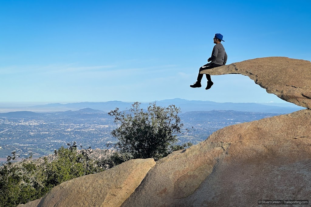
Potato Chip Rock & Mt Woodson, CA
Fox Forest, Hillsborough NH
Perley Brook Reservoir, Gardner MA
Rockingham Portsmouth Branch RT, NH
North Central Pathway Rail Trail, MA
Falls In The River, Pittsburg NH
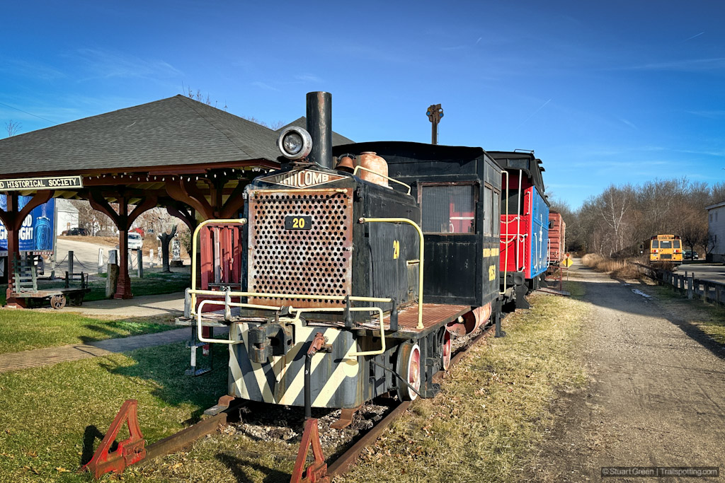
Harrisville & Hancock Rail Trails NH
Older Posts
Home
Subscribe for new trail reviews weekly
Non-commercial and ad-free. Copyright © 2025 Stuart Green all rights reserved. Content provided without warranty of accuracy.
About Trailspotting