Skip to main content
Search
Search this site
California ·
New England ·
More
Posts
Showing posts with the label
beaches
Show all
Gaviota Wind Caves, Goleta CA
Torrey Pines, La Jolla CA
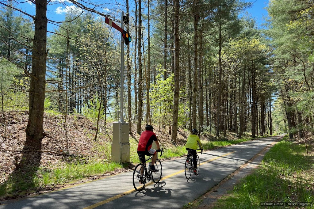
Bruce Freeman Rail Trail, MA
Shining Sea Bikeway, Cape Cod MA
Marginal Way, Ogunquit ME
Cape Cod Rail Trail, MA
East Boston Greenway Rail Trail, MA
Marblehead & Salem Rail Trails, MA
Cotton Valley Rail Trail, NH
Fisherman's Walk & Cliff Walk, York ME
Lake Winnisquam & WOW Rail Trails, NH
Holy Island, Northumberland UK
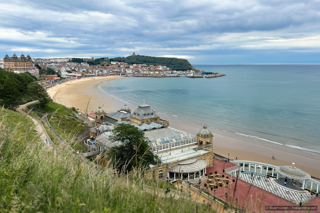
Scarborough to Filey, North Yorkshire UK
Flamborough Head, East Yorkshire UK
Presidio Ecology Trail and Lovers Lane CA
Pinecrest Lake, Strawberry CA
McWay Falls, Julia Pfeiffer Burns CA
Hanakapi'ai Falls, Na Pali Coast, Kauai HI
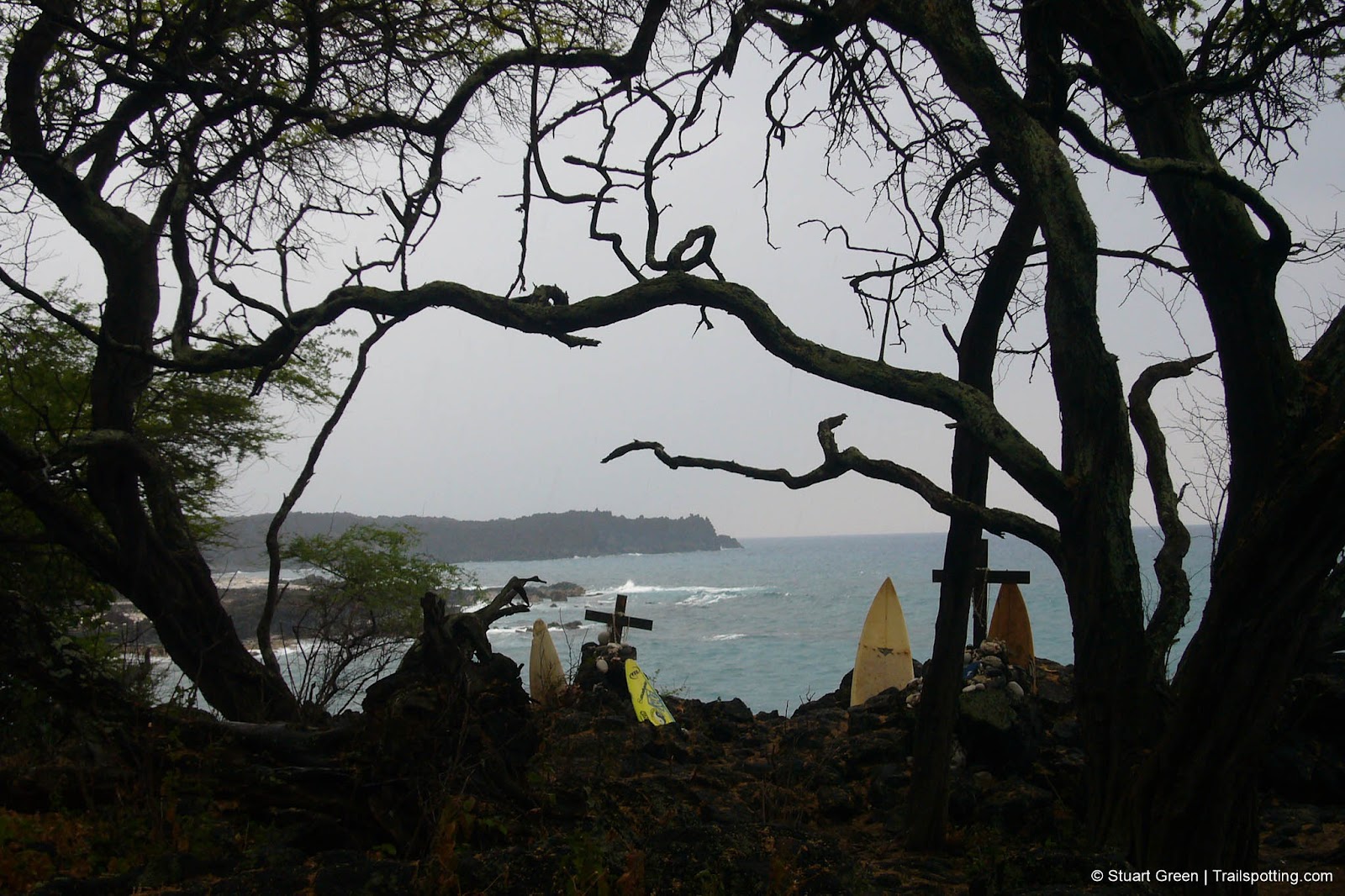
Hoapili Trail, Maui HI
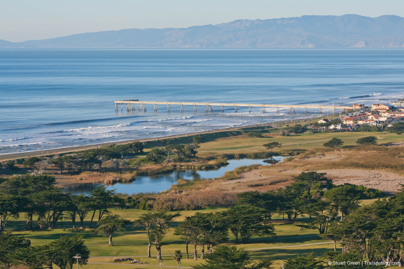
Pacifica Pier to Sweeney Ridge, Pacifica CA
Older Posts
Home
Subscribe for new trail reviews weekly
Non-commercial and ad-free. Copyright © 2025 Stuart Green all rights reserved. Content provided without warranty of accuracy.
About Trailspotting