
Skyline Wilderness Park, Napa CA
• 3-star hike
• 7 mile loop
• Moderate | Gain 1,880 feet
• Napa, CA | San Francisco Region
.
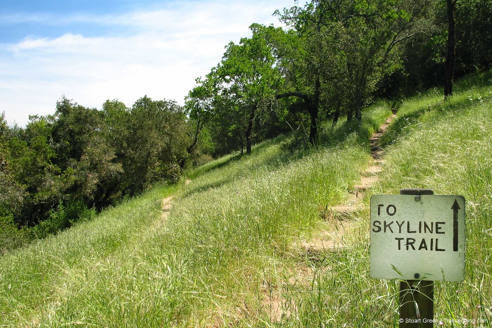
The Sugarloaf Mountain Loop in Napa's Skyline Wilderness Park stands as a premier hiking destination in California's wine country. This trail traverses diverse ecosystems, beginning with open grasslands that showcase seasonal wildflowers before transitioning through dense chaparral and into cooling oak woodlands as elevation increases.
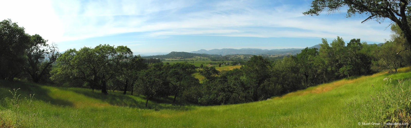
The path gradually ascends toward Sugarloaf Mountain, culminating in a brief but technically challenging steep section that requires careful footing. This final push, while demanding, enhances the satisfaction of reaching the summit. Once at the peak, hikers are rewarded with expansive panoramic views spanning Napa Valley's vineyards, surrounding mountains, and on clear days, glimpses of San Francisco Bay.
| ⬤
3★ Sugarloaf Mt Loop
GPX File · AllTrails · Directions GPX? |
| $ Paid parking |
Weather considerations are crucial when planning this hike. The trail offers limited shade coverage in several exposed sections, making summer hikes potentially uncomfortable. Spring and fall provide optimal hiking conditions with moderate temperatures and enhanced natural beauty. Access to the trailhead is straightforward, located within the park at the terminus of Imola Avenue in Napa. Visitors must pay a day-use fee per vehicle upon entry, which includes a comprehensive park map essential for navigation. The parking area consistently offers sufficient space regardless of when you visit.
Wildlife enthusiasts will appreciate potential sightings of deer, raptors, and numerous bird species native to the region. The varied terrain and ecological zones of the Sugarloaf Mountain Loop make it an exceptional representation of Napa Valley's natural landscape.
Tangents:
• Official: Skyline Park
• AllTrails Public: Skyline Wilderness Park
• Facebook Group: Comment, Follow Us

San Francisco Best Trails
For great hiking trails throughout the region, check these out.
For great hiking trails throughout the region, check these out.

LA's Best Trails
Explore the natural side of Los Angeles with Trailspotting's Best Trails feature.
Explore the natural side of Los Angeles with Trailspotting's Best Trails feature.

Best Trails of California
See our favorite hiking trails for each region of California.
See our favorite hiking trails for each region of California.