
San Bruno Mountain CA
• 4-star hike
• 3 to 7 mile options
• Moderate | Gain 670 to 1,080 feet
• San Bruno, CA | San Francisco Region
.
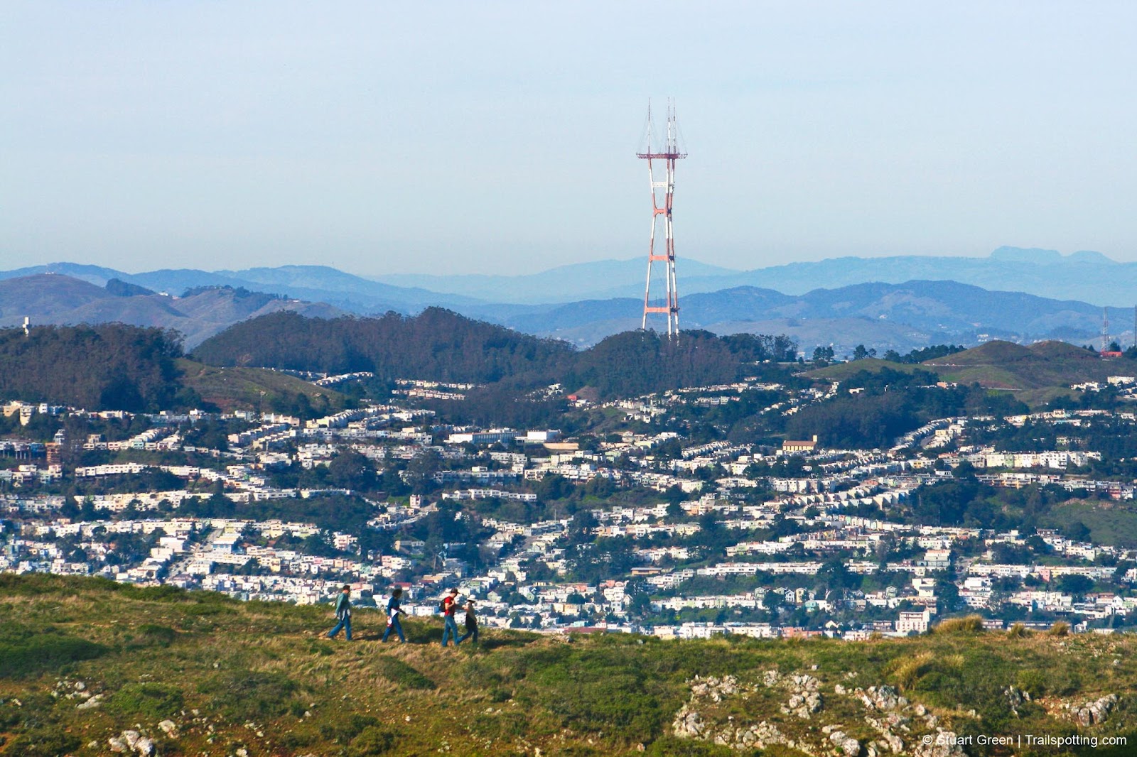
Hikers on the San Bruno Mountain Ridge.
The largest landmark on the northern part of the San Francisco Peninsula, San Bruno Mountain’s ridgeline is around four miles long. Though the march of human progress continues to slowly encroach on the mountain, it remains home to several rare and endangered species of flora, fauna and wildlife, including the elfin butterfly.
Pick a nice clear day for this hike, as San Bruno Mountain is usually a magnet for clouds and fog. There again, we've seen some spectacular views from the ridgeline as the fog rolls in on an evening.
Parking for the Summit Loop and Ridge Trail is in a gated off paid parking lot that closes around sunset or earlier. Some of the best views from the ridgeline are at times when the parking lot would be closed, so our Brisbane trail would be a good way to avoid getting locked in.
| ⬤ 4★ Summit Loop
GPX File · AllTrails · Directions* GPX? |
| ⬤ 4★ Ridge Trail
GPX File · AllTrails · Directions* |
| ⬤ 3★ Brisbane Loop
GPX File · AllTrails · Directions** |
| $ *Paid parking
|
⬤ Summit Loop
We prefer a counter clockwise route, ambling through the chapparal on the West side of the mountain, slowly rising to reveal views of Sutro Tower, San Francisco and a distant Mount Tamalpais. More views are revealled at the top of the mountain, looking South towards the coastal range, West to the Ocean and East to Mount Diablo and the San Francisco Bay.
⬤ Ridge Trail
The Ridge Trail atop San Bruno Mountain provides for panoramic peninsula views, but mostly of urban sprawl. Still, the views up here are terrific, which you'll get to share with the hawks combing the grasses for their next meal. The turnaround at the East end of the hike is not obvious, so pick your own point at which to to head back.
⬤ Brisbane Loop
A more uncommon route to the San Bruno Mountain ridgeline, this trail ascends the grassy North Eastern flanks of the mountain. You could return the way you came, or take a short narrow trail to the streets of Brisbane and turn this into a loop.
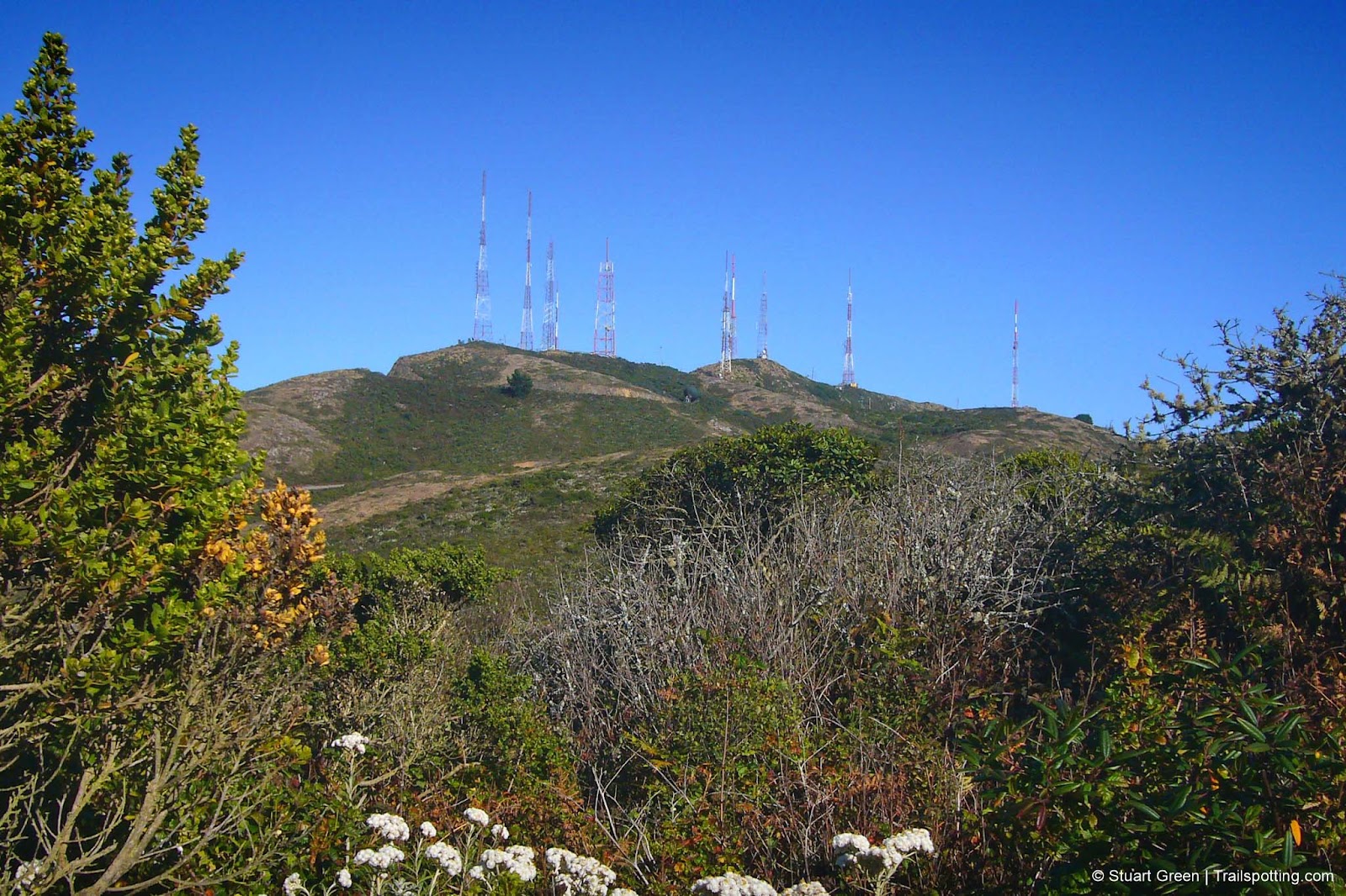
Radio antenna atop the West side of San Bruno Mountain's ridgeline.
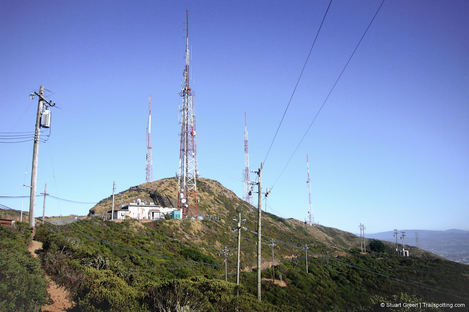
Not the most unspoilt of mountaintops, but there are great views from here.
Tangents:
• Official: CA State Parks
• AllTrails Public: San Bruno Mt
• Facebook Group: Comment, Follow Us


See our favorite hiking trails for each region of California.

Explore mountain-top hikes around California.