Posts
Showing posts with the label california+hike+firetowers
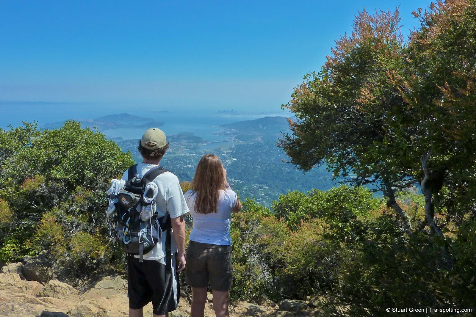
Mt Barnabe, Samuel P Taylor State Park CA
• 4-star hike
• 4.9 mile loop
• Medium difficulty | Gain 1,300 feet
• San Geronimo, CA | San Francisco Bay Area
…
• 4.9 mile loop
• Medium difficulty | Gain 1,300 feet
• San Geronimo, CA | San Francisco Bay Area
…
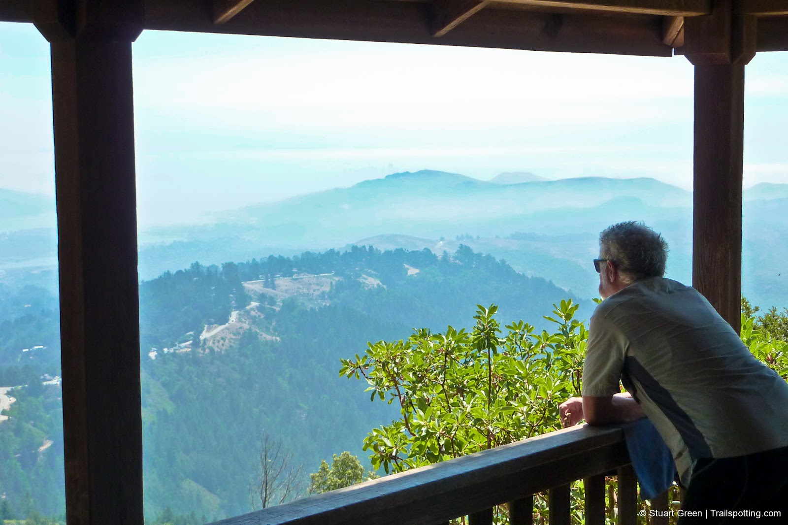
West Point Inn, Mt Tamapais CA
• 4-star hike
• 8.6 mile loop
• Medium difficulty | Gain 2,020 feet
• Mill Valley, CA | San Francisco Bay Area
…
• 8.6 mile loop
• Medium difficulty | Gain 2,020 feet
• Mill Valley, CA | San Francisco Bay Area
…
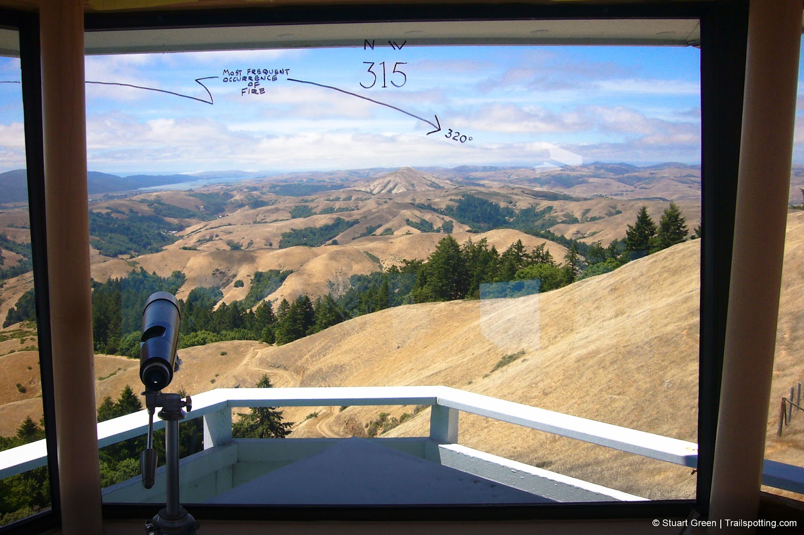
East Peak, Mt Tamalpais CA
• 4-star hike
• 0.6 mile out-and-back
• Medium difficulty | Gain 190 feet
• Mill Valley, CA | San Francisco Bay Area
…
• 0.6 mile out-and-back
• Medium difficulty | Gain 190 feet
• Mill Valley, CA | San Francisco Bay Area
…
More Trailspotting:
Hiking ·
Rail Trails ·
All ·
Fire Towers ·
Covered Bridges |
California ·
Hawaii ·
New Hampshire ·
Massachusetts ·
Southwest ·
Vermont |
About ·
Bike Route Maps ·
Hiking & Biking Gear ·
YouTube Channel |
Subscribe
Presented free of advertising. Share trails safely and respect posted signs. Information here is provided without warranty and users are responsible for their own actions and for validating all information. All content copyright © 2005-2023 Stuart Green. All rights reserved. More by this author atLibrary of Realities.com .
Presented free of advertising. Share trails safely and respect posted signs. Information here is provided without warranty and users are responsible for their own actions and for validating all information. All content copyright © 2005-2023 Stuart Green. All rights reserved. More by this author at