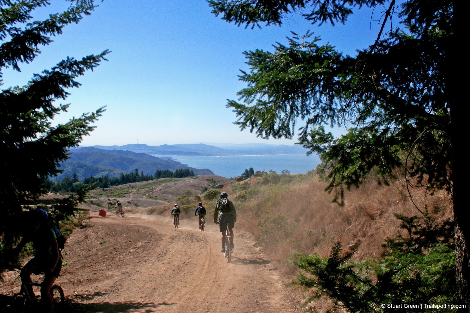
Coast View Loop, Mt Tamalpais CA
• 4-star hike
• 8 mile loop
• Moderate | Gain 1,500 feet
• Mill Valley, CA | San Francisco Region
.

Remember to share the trail on Mt Tam, birthplace of mountain biking.
Experience many of Mount Tamalpais' best features on a single loop trail, from chaparral grasslands and dramatic Pacific Ocean views to forest creeks and huge redwoods. Plus the added bonus to stop off for a swift one at an old British pub en route.
Begin at the highest point on the hike at Pan Toll Ranger Station (parking fee) and head off down the Old Mine Trail leading to Coast View Trail where you can share great Pacific Ocean views with occasional but courteous mountain bikers. On a clear day you'll get to see the Farallon Islands 26 miles out to sea as well as the San Francisco Peninsula coast, and looking the other way you'll have views of the Bay and landmarks as distant as Mt. Diablo.
| ⬤ 4★ Coast View Loop
GPX File · AllTrails · Directions GPX? |
| $ CA State Park fee |
Our route drops down through switchbacks on the Heather Cutoff Trail and links up to the Redwood Creek trail. Ironically the shade the Redwood Creek trail is provided by oak tree woodlands, but it's welcome shade nonetheless. The loop returns up Deer Park Fire Road which traces and intersects with Dipsea Trail - choose either of these trails to make your way back to the start.
Route Summary:
• Old Mine Tr > Coast View Tr > Heather Cutoff > Redwood Creek Tr > Deer Park/Dipsea > Coastal Fire Rd

Views from the Redwood Creek Trail.
Tangents:
• Official: CA State Parks
• AllTrails Public: Coast View
• Facebook Group: Comment, Follow Us


San Francisco Best Trails
For great hiking trails throughout the region, check these out.
For great hiking trails throughout the region, check these out.

Best Trails of California
See our favorite hiking trails for each region of California.
See our favorite hiking trails for each region of California.
