Posts
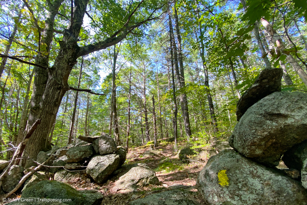
Thompson Hill, Hillsborough NH
• 3-star hike
• 2.1 mile loop
• Easy difficulty | Gain 745 feet
• Hillsborough, NH | Monadnock Region
…
• 2.1 mile loop
• Easy difficulty | Gain 745 feet
• Hillsborough, NH | Monadnock Region
…
Fisher Mountain, Thornton NH
• 4-star hike
• 3.8 mile out-and-back
• Hard difficulty | Gain 1,335 feet
• Thornton, NH | White Mountains
…
• 3.8 mile out-and-back
• Hard difficulty | Gain 1,335 feet
• Thornton, NH | White Mountains
…
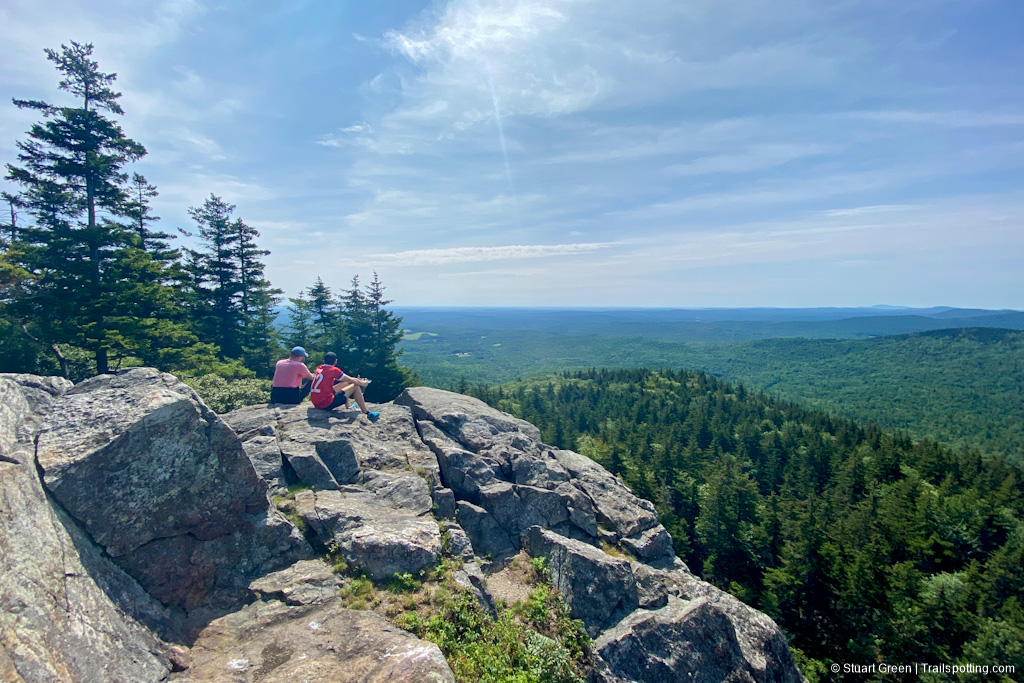
Welch-Dickey Loop, Thornton NH
• 5-star hike
• 4.2 mile loop
• Medium difficulty | Gain 1,772 feet
• Thornton, NH | White Mountains
…
• 4.2 mile loop
• Medium difficulty | Gain 1,772 feet
• Thornton, NH | White Mountains
…
Mount Osceola & East Peak NH
• 4-star hike
• 5.7 to 7.5 mile options
• Medium difficulty | Gain 2,067 to 2,838 feet
• Lincoln, NH | White Mountains
…
• 5.7 to 7.5 mile options
• Medium difficulty | Gain 2,067 to 2,838 feet
• Lincoln, NH | White Mountains
…
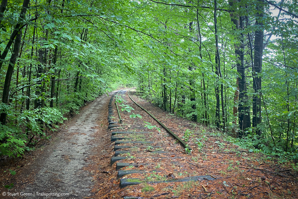
Hillsborough Rail Trail NH
• 4-star trail
• 7.4 mile each way
• Medium difficulty | Easy elevation
• Hillsborough - Bennington, NH | Monadnock Region
…
• 7.4 mile each way
• Medium difficulty | Easy elevation
• Hillsborough - Bennington, NH | Monadnock Region
…
Peterborough Rail Trail NH
• 4-star trail
• 8.5 miles each way
• Medium difficulty | Easy elevation
• Peterborough, NH | Monadnock Region
…
• 8.5 miles each way
• Medium difficulty | Easy elevation
• Peterborough, NH | Monadnock Region
…
Monadnock Rail Trail NH
• 4-star trail
• 8.9 miles each way
• Medium difficulty | Easy - Moderate elevation
• Jaffrey - Winchendon, MA | Monadnock Region
…
• 8.9 miles each way
• Medium difficulty | Easy - Moderate elevation
• Jaffrey - Winchendon, MA | Monadnock Region
…
Holy Island, Lindesfarne UK
• 4-star hikes
• 3.5 to 4.1 mile options
• Easy difficulty | Gain 200-240 ft (60-70m)
• Holy Island, Northumberland | United Kingdom
…
• 3.5 to 4.1 mile options
• Easy difficulty | Gain 200-240 ft (60-70m)
• Holy Island, Northumberland | United Kingdom
…
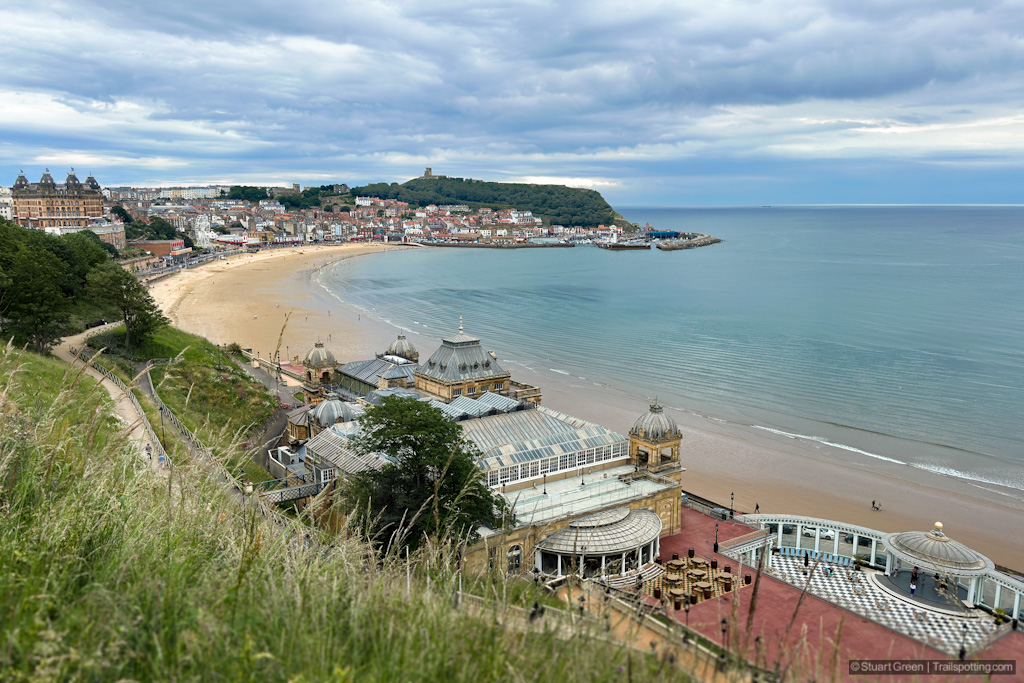
Scarborough to Filey, North Yorkshire UK
• 5-star hike
• 8.0 to 9.6 miles each way
• Medium difficulty | Gain 950 to 1,150ft (290-350m)
• Scarborough, North Yorkshire | United Kingdom
…
• 8.0 to 9.6 miles each way
• Medium difficulty | Gain 950 to 1,150ft (290-350m)
• Scarborough, North Yorkshire | United Kingdom
…
Bruce Edes Forest, Bennington NH
• 3-star hike
• 1.0 mile loop
• Easy difficulty | Elevation nominal
• Bennington, NH | Monadnock Region
…
• 1.0 mile loop
• Easy difficulty | Elevation nominal
• Bennington, NH | Monadnock Region
…
Flamborough Head, East Yorkshire UK
• 4-star hikes
• 0.5 to 4.0 mile options
• Easy & Medium | Gain 100-300 ft (30-90m)
• Flamborough, East Yorkshire | United Kingdom
…
• 0.5 to 4.0 mile options
• Easy & Medium | Gain 100-300 ft (30-90m)
• Flamborough, East Yorkshire | United Kingdom
…
Brontë Falls, West Yorkshire UK
• 5-star hike
• 3.7 to 5.8 mile options
• Easy & Medium | Gain 520 to 840ft (160-260m)
• Haworth, West Yorkshire | United Kingdom
…
• 3.7 to 5.8 mile options
• Easy & Medium | Gain 520 to 840ft (160-260m)
• Haworth, West Yorkshire | United Kingdom
…
Miller State Park, Peterborough NH
• 4-star hikes
• 2.7 to 7.7 mile options
• Medium difficulty | Gain 810 to 2,170 feet
• Peterborough, NH | Monadnock Region
…
• 2.7 to 7.7 mile options
• Medium difficulty | Gain 810 to 2,170 feet
• Peterborough, NH | Monadnock Region
…
Llyn Idwal Loop, Wales UK
• 5-star hike
• 2.6 to 3 mile options
• Easy/Medium difficulty | Gain 440-800 ft (130-240m)
• Betws-y-Coed, Wales | United Kingdom
…
• 2.6 to 3 mile options
• Easy/Medium difficulty | Gain 440-800 ft (130-240m)
• Betws-y-Coed, Wales | United Kingdom
…
New England Bike Route Mapping Resources
• Category: Blog Update
• Last updated: May 2023
Trailspotting Rail Trail Map
Complete interactive rail trail maps with links to reviews, photos &am…
• Last updated: May 2023
Trailspotting Rail Trail Map
Complete interactive rail trail maps with links to reviews, photos &am…
Presented free of advertising. Please share trails safely and respect posted signs. Information on this site is provided without warranty regarding accuracy. Copyright © 2005-2024 Stuart Green all rights reserved. Republishing of content is not permitted without explicit consent. About Trailspotting .


