Posts
Showing posts with the label newhampshire+0-3miles
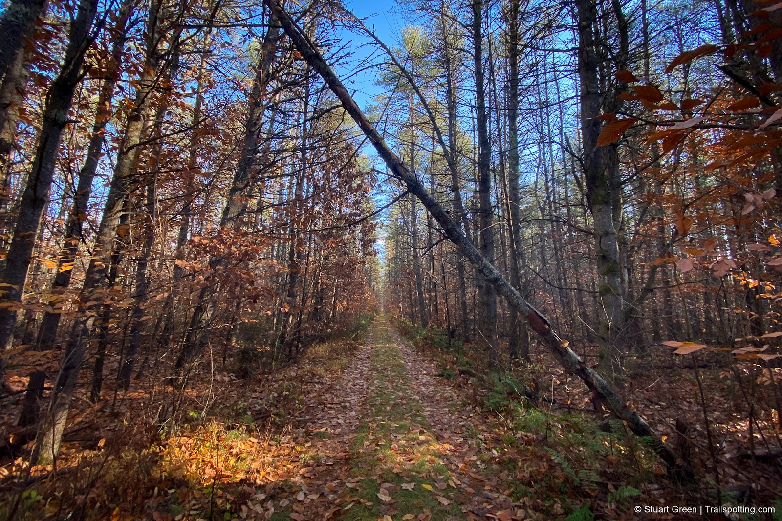
Mast Yard Rail Trail, Hopkinton NH
• 3-star trail
• 1.7 miles each way
• Medium difficulty | Easy elevation
• Hopkinton - Concord, NH | Merrimack Region
…
• 1.7 miles each way
• Medium difficulty | Easy elevation
• Hopkinton - Concord, NH | Merrimack Region
…
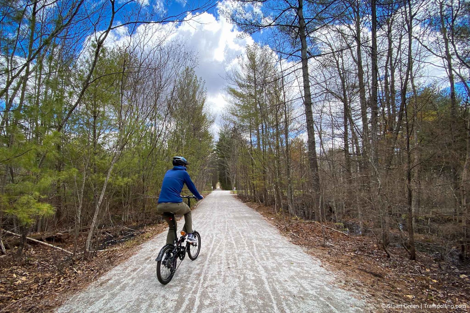
Fisherville Rd Rail Trail, Concord NH
• 4-star trail
• 2.5 miles each way
• Medium difficulty | Easy elevation
• Concord, NH | Merrimack Region
…
• 2.5 miles each way
• Medium difficulty | Easy elevation
• Concord, NH | Merrimack Region
…
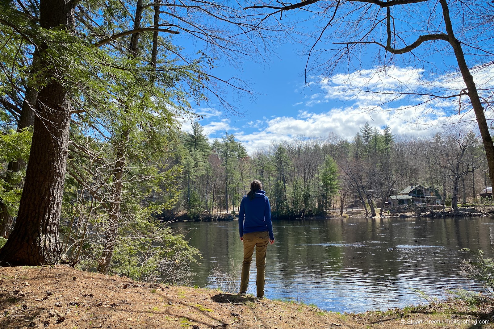
O'Reilly-Fleetham Trail, Concord NH
• 3-star hike
• 0.6 to 1.4 mile options
• Easy difficulty | Gain 50 to 60 feet
• Concord, NH | Merrimack Region
…
• 0.6 to 1.4 mile options
• Easy difficulty | Gain 50 to 60 feet
• Concord, NH | Merrimack Region
…
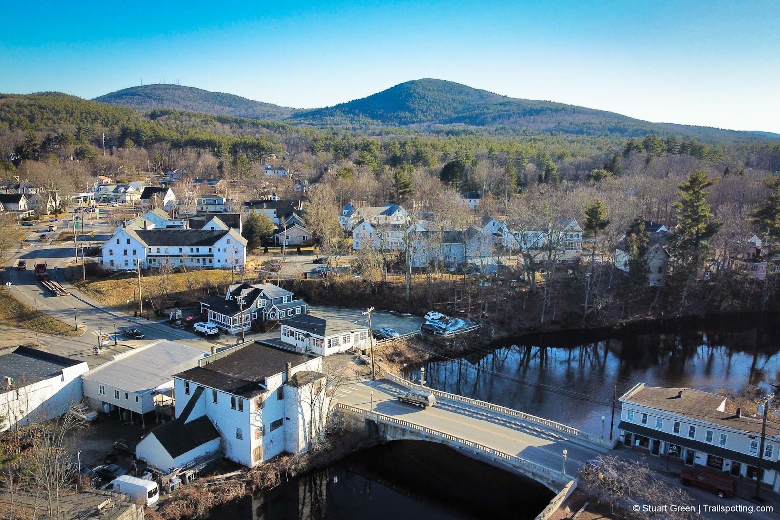
Green Mountain, Claremont NH
• 3-star hike
• 2.4 to 3.3 mile options
• Easy difficulty | Gain 730 to 890 feet
• Claremont, NH | Sunapee Region
…
• 2.4 to 3.3 mile options
• Easy difficulty | Gain 730 to 890 feet
• Claremont, NH | Sunapee Region
…
North Uncanoonuc Mt, Goffstown NH
• 3-star hike
• 1.2 to 2.6 mile loop options
• Medium difficulty | Gain 440 to 774 feet
• Goffstown, NH | Merrimack Region
…
• 1.2 to 2.6 mile loop options
• Medium difficulty | Gain 440 to 774 feet
• Goffstown, NH | Merrimack Region
…
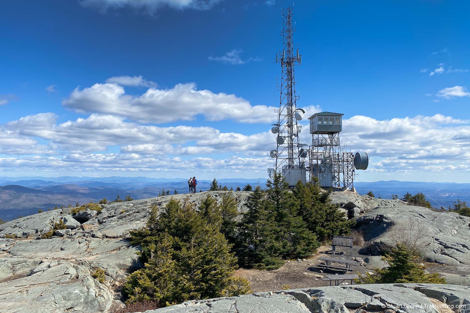
Mount Kearsarge, Wilmot NH
• 5-star hike
• 1.0 to 8.7 mile options
• Easy/Medium difficulty | Gain 300 to 2,119 feet
• Wilmot, NH | Sunapee Region
…
• 1.0 to 8.7 mile options
• Easy/Medium difficulty | Gain 300 to 2,119 feet
• Wilmot, NH | Sunapee Region
…
Mount Wallingford, Weare NH
• 3-star hike
• 3.0 mile out-and-back
• Medium difficulty | Gain 690 feet
• Weare, NH | Merrimack Region
…
• 3.0 mile out-and-back
• Medium difficulty | Gain 690 feet
• Weare, NH | Merrimack Region
…
Frog Rock, New Boston NH
• 4-star hike
• 0.8 mile out-and-back
• Easy difficulty | Gain 20 feet
• New Boston, NH | Merrimack Region
…
• 0.8 mile out-and-back
• Easy difficulty | Gain 20 feet
• New Boston, NH | Merrimack Region
…
Proctor Hill, Henniker NH
• 3-star hike
• 2.7 to 3.2 mile options
• Easy difficulty | Gain 340 to 360 feet
• Henniker, NH | Merrimack Region
…
• 2.7 to 3.2 mile options
• Easy difficulty | Gain 340 to 360 feet
• Henniker, NH | Merrimack Region
…
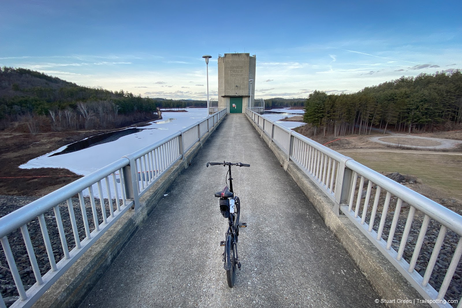
Everett Dam & Weare Rail Trails NH
• 3-star trails
• 3.5 miles each way (over 3 trails)
• Medium difficulty | Easy - Moderate elevation
• Weare - Henniker, NH | Merrimack Region
…
• 3.5 miles each way (over 3 trails)
• Medium difficulty | Easy - Moderate elevation
• Weare - Henniker, NH | Merrimack Region
…
Henniker & Hopkinton Rail Trails NH
• 3-star trails
• 6.3 miles each way (over 3 trails)
• Medium difficulty | Easy elevation
• Henniker - Hopkinton, NH | Merrimack Region
…
• 6.3 miles each way (over 3 trails)
• Medium difficulty | Easy elevation
• Henniker - Hopkinton, NH | Merrimack Region
…
Hedgehog Mountain, Deering NH
• 4-star hike
• 1.6 to 8.1 mile options
• Medium difficulty | Gain 397 to 770 feet
• Deering, NH | Merrimack Region
…
• 1.6 to 8.1 mile options
• Medium difficulty | Gain 397 to 770 feet
• Deering, NH | Merrimack Region
…
Federal Hill Fire Tower, Milford NH
• 3-star hike
• 0.7 mile out-and-back
• Easy difficulty | Gain 160 feet
• Milford, NH | Monadnock Region
…
• 0.7 mile out-and-back
• Easy difficulty | Gain 160 feet
• Milford, NH | Monadnock Region
…
Jim Hill River Walk, Lehtinen Park NH
• 3-star hike
• 1.2 to 3.0 mile options
• Easy difficulty | Elevation nominal
• Concord, NH | Merrimack Region
…
• 1.2 to 3.0 mile options
• Easy difficulty | Elevation nominal
• Concord, NH | Merrimack Region
…
Mast Yard & Lehtinen Park NH
• 4-star hike
• 4.0 to 5.3 mile options
• Easy difficulty | Elevation nominal
• Hopkinton & Concord, NH | Merrimack Region
…
• 4.0 to 5.3 mile options
• Easy difficulty | Elevation nominal
• Hopkinton & Concord, NH | Merrimack Region
…
Mount Major, Lake Winnipesaukee NH
• 5-star hike
• 2.7 to 7.4 mile options
• Medium difficulty | Gain 1,090 to 1,970 feet
• Alton, NH | Lakes Region
…
• 2.7 to 7.4 mile options
• Medium difficulty | Gain 1,090 to 1,970 feet
• Alton, NH | Lakes Region
…
Bald Mountain, Willard Pond NH
• 4-star hikes
• 2.0 to 2.7 mile options
• Easy difficulty | Gain 476 to 873 feet
• Antrim, NH | Monadnock Region
…
• 2.0 to 2.7 mile options
• Easy difficulty | Gain 476 to 873 feet
• Antrim, NH | Monadnock Region
…
Plaistow Town Forest NH
• 3-star hike
• 1.0 to 9.0 mile options
• Easy difficulty | Gain 50 to 600 feet
• Plaistow, NH | Seacoast Region
…
• 1.0 to 9.0 mile options
• Easy difficulty | Gain 50 to 600 feet
• Plaistow, NH | Seacoast Region
…
Thompson Hill, Hillsborough NH
• 3-star hike
• 2.1 mile loop
• Easy difficulty | Gain 745 feet
• Hillsborough, NH | Monadnock Region
…
• 2.1 mile loop
• Easy difficulty | Gain 745 feet
• Hillsborough, NH | Monadnock Region
…
Presented free of advertising. Please share trails safely and respect posted signs. Information on this site is provided without warranty regarding accuracy. Copyright © 2005-2024 Stuart Green all rights reserved. Republishing of content is not permitted without explicit consent. About Trailspotting .

